Download
1 / 5
80 likes | 359 Views
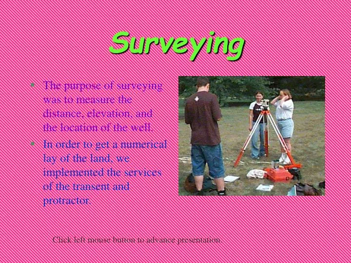
Surveying. The purpose of surveying was to measure the distance, elevation, and the location of the well. In order to get a numerical lay of the land, we implemented the services of the transent and protractor. Click left mouse button to advance presentation. Water Table Contours.

E N D
Surveying • The purpose of surveying was to measure the distance, elevation, and the location of the well. • In order to get a numerical lay of the land, we implemented the services of the transent and protractor. Click left mouse button to advance presentation.
Water Table Contours • We integrated the use of topographic contour maps as a visual aid tool. • They contain information on the elevations of landforms in the area as well as key features.
Flow Direction • Normally, water usually flows into a pond from higher to lower elevations. • In the case illustrated by this chart however, the water flows out the pond.
Conclusions • By surveying, we were able to investigate and analyze the physical environment of the ground level. • Through careful examination of the geographic properties of the water table contours, we were able to hypothesize the slope of the underground well. • We were able to conclude that the flow direction doesn’t always coincide with the lay of the land.
ELK Productions • Eric Liu • Lonnie McMillan • Kim Wysocki Return to presentation page.