Download
1 / 22
220 likes | 240 Views
Learn the fundamentals of map reading, from understanding various map types and symbols to measuring distances and aligning maps with the real world. Practice identifying locations, using grids, and following bearings for effective navigation. Enhance your outdoor adventure planning and leadership abilities with this comprehensive guide.

E N D
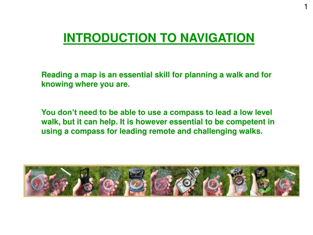
1 INTRODUCTION TO NAVIGATION Reading a map is an essential skill for planning a walk and for knowing where you are. You don’t need to be able to use a compass to lead a low level walk, but it can help. It is however essential to be competent in using a compass for leading remote and challenging walks.
2 MAPPING BASICS
3 MAP TYPES 1:25000 Explorer 1:50000 Landranger Best to check date of issue as landmarks can change over time. Other maps are available, such as Harvey's.
6 AUDIENCE PARTICIPATION! WHERE AM I? Give everyone 4 or 5 Grid References from the map and ask them to identify what they find there
7 MEASURING SCALE 1:25 000 OS Explorer 1:50 000 OS Landranger It might help you to remember that the larger the number in the scale, the smaller the scale of the map will be.
AUDIENCE PARTICIPATION! MAP SYMBOLS 8 Split into groups and identify the symbols
9 CONTOURS How high is each hill?
12 AUDIENCE PARTICIPATION!
13 MAP FEATURES
14 PARTS OF A COMPASS
15 ALIGNING THE MAP WITH THE REAL WORLD
16 (bridge) (building)
17 Read the bearing off here
18 To follow the bearing:
19 MEASURING DISTANCE Grid squares String method Straight edge Map measurer
20 AUDIENCE PARTICIPATION! FIND YOUR WAY Give everyone 3 or 4 end points and ask them to identify what they are, the distance from each start to each end point and the bearing between them EXAMPLE
21 TIMING YOUR WALK • When looking at timings for your walk consider: • walking speed (vary with terrain, stiles, party etc) Kph mins per km 3 20 3.5 17 4 15 4.5 13.3 5 12 • Climbing hills – Naismith’s rule 30 mins extra per 300m ascended (1 min per 10m contour line) • Stops, including comfort breaks, lunch, etc… • Contingency
22 FURTHER GUIDANCE AND SUPPORT More advice and guidance can be found at the walk leaders pages of the Ramblers website: www.ramblers.org.uk/Volunteer/AreaGroup/Resources/Led+Walks.htm or email ledwalks@ramblers.org.uk Thanks to all Ramblers groups whose websites were the source of some of the pictures.