Download
1 / 24
270 likes | 504 Views
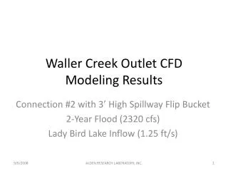
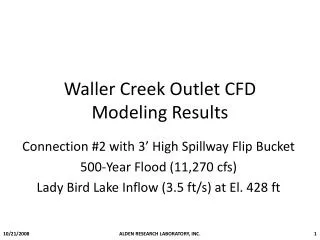
City of Austin Waller Creek Tunnel Project. OKC InterCity Visit April 2013. University of Texas. Hospital. State Capitol. Red River. Interstate 35. Central Business District. 6 th Street. Shoal Creek. Convention Center. Waller Creek. Colorado River. Theoretical Storm

E N D
City of AustinWaller Creek Tunnel Project OKC InterCity Visit April 2013
University of Texas Hospital State Capitol Red River Interstate 35 Central Business District 6th Street Shoal Creek Convention Center Waller Creek Colorado River
Theoretical Storm 100-year Storm Event = 1% chance in any given year = 10.2 inches in 24 hours (Travis County) Past Floods 2010 : 12 inches in 24 hrs 1981 : 10 inches in 4 hrs 1921 : 13.8 inches in 12 hrs 1915 : 10 inches in 24 hrs 1832 1833 1836 1843 1852 1869 1870 1900 1913 1915 1921 1932 1935 1936 1938 • 1961 1975 1991 2001 1960 1974 1981 1998 Flash Flood Alley Thrall (1921) 36 inches in 18 hours
Memorial Day Flood of 1981 Shoal Creek normally flows at 90 gallons per minute It peaked at 6,000,000 gallons per minute !
Waller Creek (1915) 35 fatalities in Austin mostly along Waller Creek
Waller Creek (1915) Waller Creek at 6th Street
Waller Creek (Today) Waller Creek at 6th Street
Flood Risk persists even during a record drought Bull Creek Waller Creek 2010
Reduced flood threat to public safety • Reduction of the 100-year floodplain • Over 1,000,000 square feet of land reclaimed • 42 commercial and residential structures protected • 12 roadways protected • Improved Riparian Corridor • Less severe stream erosion and degradation • Less trash and debris • Reliable baseflow • Protects existing and future improvements along the creek (restored streambanks, hike/bike trails)
Tunnel Dimensions Approximately 5,600 feet in length Average diameter of 24 feet 60-70 feet underground Above Ground Tunnel Structures Outlet at Lady Bird Lake Two Creek Side Inlets Main Inlet at Waterloo Park • Creek Inlet • Creek Inlet Tunnel Project Scope Surface Amenities Waterloo Park Restoration New Boathouse w/ public restrooms New Bridge on Lady Bird Lake
Tunnel Operations - During a Storm • Floodwaters cause tunnel ponds and creek elevations to rise. • Majority of floodwater diverted to tunnel by the Main Inlet at Waterloo Park. • Runoff from areas between 12th Street and 4th Street flows to creek and will be mostly diverted by the creek side inlets. Runoff from areas south of 4th Street Bridge not diverted. • Floodwaters from tunnel discharged to Lady Bird Lake by the Outlet at Waller Beach. • Trash and debris screened at each inlet. • Rise in creek flood elevations (above baseflow) limited to 4’ to 5’ during a 100-yr storm.
Tunnel Operations – Dry Weather • Water from Lady Bird Lake is drawn through the tunnel by pumps at the Main Inlet. • Dissolved oxygen levels are increased by a DO ladder in the Main Inlet Building. • Pumped water is released into the pond and creek in Waterloo Park year round. • Pumped water and any creek baseflow from upstream flows down the creek to the lake. • Maximum amount of pumped water regulated by firm water contract between City and LCRA. • Permitted maximum amount per year = 7,240 acre-feet per year = 10 cubic feet per second. • Pumped water amounts can vary but must maintain DO in tunnel.
Project Cost Tax Increment Financing Zone Construction Eng., Testing, Project/Const. Mgmt, & Inspection Right-of-Way Total $146.5 M • Approved June 21, 2007 • TIF in place for 20 years • New tax revenue created by increases in property value after 2007 • City contributes 100% of new tax increment and Travis County contributes 50%