Download
1 / 16
160 likes | 296 Views
Using Wireless Technology to Facilitate Campus Navigation. Tracey J. Mehigan & Ian Pitt IDEAS Research Group Dept. of Computer Science University College Cork. Introduction. Who navigates UCC? Project background State-of-the-Art - issues Review of user r equirements – results

E N D
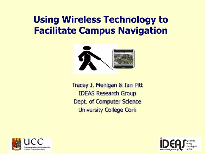
Using Wireless Technology to Facilitate Campus Navigation Tracey J. Mehigan & Ian Pitt IDEAS Research Group Dept. of Computer Science University College Cork
Introduction • Who navigates UCC? • Project background • State-of-the-Art - issues • Review of user requirements – results • System
Who Navigates UCC? Average annual visitors • Visitors through the Visitor Centre in excess of 15,000 • Glucksman Gallery visitors in excess of 70,000 Students (2010/2011) • 1040 Visiting students • 2400 International students • 1988 Adult & continuing education students • 10 totally blind students and 28 vision impaired
Campus navigation difficult for blind / vision-impaired students, staff and visitors Sign-posts / maps Mobility training Potential solution Navigation via mobile / wireless technology Background
State-of-the-Art Cost-effective systems have been developed Safe and independent navigation Research-based systems: Exhibitions (Belloti et al 2006) Universities (Tee et al 2009) Indoor positioning (Nokia Research Labs) Commercial systems: Humanware‘s ‘Trekker Breeze’
Issues within State-of-the-Art Accuracy of feedback provided No transition between indoor / outdoor navigation Power-drain / battery life No conveyance of terrain and environment Cumbersome systems Isolation and exclusion of user
Review of User Requirements Interviews and walkabouts with students / mobility trainer Questions: Comment on campus navigation issues Issues associated with specific routes Strengths / weaknesses of mobility training Describe thought process during walkabout Guide dog / cane users
Results of Review (1) Differences between dog / cane users Use of environmental sounds / cues Primary means of determining position Confirm information obtained through other means Use of different manholes as route-markers Use of the river / wind direction
Results of Review (2) No off-the-shelf system meets UCC's needs All systems fall short in following areas: Accuracy level of feedback Reliability of localisation information Inability to operate both indoors / outdoors Nature of interface feedback
Navigation Layer Bluetooth 4.0 – Ultra Low Power Can be used to provide location-based information Low energy wireless solution Multi-vendor interoperability Included in new devices – iPhone 4S Wireless Inertial Measurement Units (WIMU) Capture optical 3D motion
User Interface Layer Address issues apparent in other systems Retain all beneficial elements from other systems Existing systems - TTS and visual feedback: Extend feedback facilities Extend user control facilities Facilitate different users Ensure no isolating features included
User Interface Key Components 'You are Here' facility Route marking facility 'Near Me' facility Orientation facility Map-based visual feedback
Key Feedback Components Audio Components Simple audio Spatial audio Speech Haptic components Varying levels of vibration Text based options Size /colour options
Prototype UI Developed by a BIS 4th year student Final year project work Developed navigation UI for Android devices Bluetooth functionality Pilot study
Conclusion • Who navigates UCC? • Project background • State-of-the-Art - issues • Review of user requirements – results • System