Download
1 / 18
180 likes | 331 Views
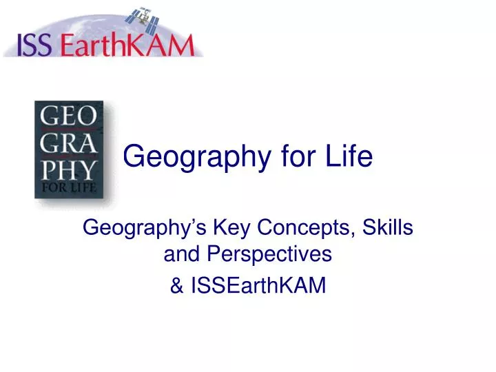
Geography for Life. Geography’s Key Concepts, Skills and Perspectives & ISSEarthKAM. A vision of what geography education should be …. A geographically informed person…. who sees meaning in the arrangement of things in space…. Can you identify London, Amsterdam, Rome, Moscow, and Berlin?.

E N D
Geography for Life Geography’s Key Concepts, Skills and Perspectives & ISSEarthKAM
A geographically informed person… • who sees meaning in the arrangement of things in space… Can you identify London, Amsterdam, Rome, Moscow, and Berlin?
A geographically informed person… • Who sees relations between people places & environments
A geographically informed person… • Who uses geographic skills…
A geographically informed person… • And who applies spatial and ecological perspectives to life situations.
Six essential elements • World in Spatial Terms • Places and Regions • Physical Systems • Human Systems • Environment & Society • Uses of Geography
Std 1: Using maps, globes and geographic representations to acquire, process, report information Std 2: Use mental maps to organize information Std 3: Analyze the spatial organization of people, places, and environments The World in Spatial Terms
Spatial Relations • Skills needed to recognize spatial distribution and spatial patterns • Identify shapes • Recalling and representing layouts • Connecting locations • Associating and correlating spatially distributed phenomena
Spatial Relations (cont.) • Comprehending & using spatial hierarchies • Regionalizing • Comprehending distance decay and nearest neighbor effects • Imagining maps from verbal descriptions • Sketch mapping • Comparing maps • Overlaying and dissolving maps
Std 4: Human & physical characteristics of places Std 5: People create regions to interpret Earth’s complexity Std 6: Culture & experience influence people’s perceptions of places/regions Places & Regions
Std 7: Physical processes that shape patterns of Earth’s surface Std 8: Characteristics and distribution of ecosystems Physical Systems
Std 9: Char’s, distribution, migration of humans Std 10: Char’s, distribution of cultures Std 11: Patterns and networks of economic interdependence Std 12: Processes, patterns, functions of human settlements Std 13: Conflict and cooperation Human Systems
Std 14: How human actions modify the physical environment Std 15: How physical systems affect human systems Std 16: The meaning, use, distribution and importance of resources Environment & Society
Std 17: How to apply geography to interpret the past Std 18: How to apply geography to interpret the present and plan for the future Uses of Geography