Download
1 / 17
180 likes | 382 Views
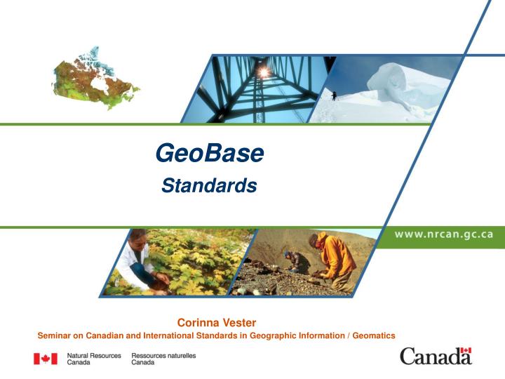
GeoBase Standards. Corinna Vester Seminar on Canadian and International Standards in Geographic Information / Geomatics. Presentation overview. The goal of this presentation is to outline: a brief description of GeoBase, how GeoBase standards are developed,

E N D
GeoBase Standards Corinna Vester Seminar on Canadian and International Standards in Geographic Information / Geomatics Canada’s Natural Resources – Now and for the Future
Presentation overview The goal of this presentation is to outline: • a brief description of GeoBase, • how GeoBase standards are developed, • what criteria GeoBase standards must meet, • what GeoBase standards have been adopted, • where information on GeoBase standards and specifications can be found. Canada’s Natural Resources – Now and for the Future
GeoBase is …. • GeoBase is a federal, provincial and territorial government initiative, overseen by the Canadian Council on Geomatics (CCOG). • This initiative was undertaken to ensure the provision of, and access tofundamental geographic information that describes the Canadian landmass. • GeoBase consists of quality geospatial data, which is current, accurate and consistent throughout Canada. GeoBase is a unique data set, collected once and maintained - closest to source. Canada’s Natural Resources – Now and for the Future
IACG CCOG AAFC EC INAC DND BC PWGSC CHS PSC AB StatsCan NWT CP Elections MB ON … QC SK GeoConnections NB NS USERS PEI NL NU YK GeoBase: Relationships GeoBase NRCan Canada’s Natural Resources – Now and for the Future
GeoBase Principles • Source data (regional and, where practical, national) all share the same geometry. • GeoBase data provides national coverage. • Source data is collected once and used by many. • Source data is collected and maintained closest to source. • The cost of maintenance and update is shared among the levels of government. • All GeoBase data is available at no charge. • GeoBase data has no restrictions on its subsequent use. • GeoBase data uses a common license. Canada’s Natural Resources – Now and for the Future
GeoBase: DataLayers National Hydro Network (NHN) Geopolitical Boundaries Geographical Names of Canada Satellite Orthoimages – Landsat 7 and SPOT 4 and 5 National Road Network (NRN 2.0) Digital Elevation Data (CDED) Geodetic Network Canada’s Natural Resources – Now and for the Future
Technical Characteristics of GeoBase Data • GeoBase data comply with a standard data model and meet or exceed a minimum standard for accuracy, resolution and currency. • Metadata is defined and standardized at the entity level. • GeoBase data and all associated tools adhere to international standards. Canada’s Natural Resources – Now and for the Future
Standards Criteria • GeoBase standards must fit with international standards. • GeoBase standards define what the standards are and when they must be complied with but not how the data is made compliant. • GeoBase standards will be maintained. Canada’s Natural Resources – Now and for the Future
Standards Development and Acceptance Process - 1 • CCOG sanctions a request for a new Standard and identifies co-Chairs for a development team for the Standard. • Co-Chairs, the data custodian and willing partners draft the Standard. • The draft Standard is circulated for review and comment. • Comments are reflected in draft Standard. Canada’s Natural Resources – Now and for the Future
Standards Development and Acceptance Process - 2 • NRCan reviews the Standard against applicable international standards and against other themes to ensure consistency. It provides advice on any non-conformity to the participating agencies and to the GeoBase Steering Committee. • Workshops with appropriate experts (internal and external) are held across Canada to further review and modify the Standard. • Revised draft Standard is sent to CCOG members for review. Canada’s Natural Resources – Now and for the Future
Standards Development and Acceptance Process - 3 • After a minimum two-month review period the Standard is tabled for a vote of CCOG. • The Standard is accepted if 75% of CCOG members vote to accept it. Canada’s Natural Resources – Now and for the Future
Current Standards • To date three sets of standards have been through the full development and acceptance process. These are: • National Road Network (NRN 1.0) • National Hydrographic Network (NHN) v1.0. • National Road Network (NRN 2.0) • Full documentation of these standards are available on the GeoBase Web site (www.geobase.ca). Canada’s Natural Resources – Now and for the Future
Grandfathered Standards • Geopolitical Boundaries, • Geodetic Control Points, • Landsat 7 Orthoimages, • Digital Elevation Data, and • Geographic Names • The standards for these products were presented to the CCOG and were adopted by Resolution F05-11. These standards serve as the starting point for any future standards development for these themes. • No further standards will be grandfathered. All future standards will follow the processes outlined in this document. Canada’s Natural Resources – Now and for the Future
Future GeoBase standards • Land cover • Municipal Boundaries Canada’s Natural Resources – Now and for the Future
Standards Maintenance Process • Any CCOG member can identify a need for a change to a standard. In order to move forward with any change, 75% of voting CCOG members must be in favour. • The process for change to a standard is the same as for a new standard. Canada’s Natural Resources – Now and for the Future
GeoBase Data Specifications • Detailed specifications for all of the GeoBase data layers are documented and available on the GeoBase portal. www.geobase.ca Canada’s Natural Resources – Now and for the Future
Questions ? Canada’s Natural Resources – Now and for the Future