Download
1 / 94
970 likes | 1.3k Views
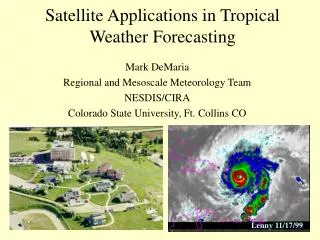
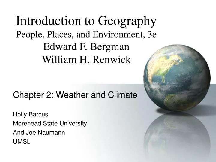
Introduction to Geography People, Places, and Environment, 3e Edward F. Bergman William H. Renwick. Chapter 2: Weather and Climate Holly Barcus Morehead State University And Joe Naumann UMSL. Weather & Climate affect us in many ways. Major Factor in Habitability of Areas.

E N D
Introduction to GeographyPeople, Places, and Environment, 3eEdward F. BergmanWilliam H. Renwick Chapter 2: Weather and Climate Holly Barcus Morehead State University And Joe Naumann UMSL
Major Factor in Habitability of Areas • Affects human comfort levels • Affects the “costs” of living and working in an area – extremely high cost of mineral extraction in mineral-rich Siberia • Affects the agricultural products that can be produced
Weather and Climate • Weather • Day-to-day variations in temperature and precipitation • Climate • Statistical summary of weather conditions through time • Definition: The average yearly pattern of precipitation and temperature.
Weather Conditions • Examples: storms, temperature • Movement of “energy” • Fundamental features of Earth’s surface • Regulate natural systems • Limit human use of environment
Weather & Climate • Whereas climate is the average annual pattern of precipitation and temperatures for an area, weather is the momentary, and very temporary, condition of the atmosphere. • Weather is experienced moment by moment • To experience the climate of an area, one must live there for many years. To truly experience climate, one must experience the extremes as well as the averages.
Solar Energy • Radiant energy from sun (insolation) • Powers circulation of atmosphere and oceans and supports life on Earth • Varies across Earth’s surface
Insolation • Amount of energy intercepted by Earth • 2 factors • Intensity of solar radiation • Duration of sunlight
Intensity of Solar Radiation • Angle of incidence • Varies daily & seasonally • Axial tilt = 23.5 degrees • Lower angle = larger area = lesser intensity • Higher angle = smaller area = greater intensity
Earth-Sun Relationships: Click the Stonehenge picture below to see video • Even in ancient times, humans were able to observe that the relationship differed from day to day in a cycle.
Air Temperature • Earth Inclination (23.5º tilt of the axis is responsible for the seasons and redistributing the heat energy received) • Reflection and Reradiation – human actions can affect this • The Lapse Rate – 3.5° per 1000 feet • Decrease with ascent • Increase with descent
Latitude • Sun is directly overhead at the equator • March Equinox – March 20 or 21 • September Equinox – Sept. 20 or 21 • June Solstice – June 20 or 21 • Tropic of Cancer • December Solstice • Tropic of Capricorn • Hemispherically Correct Terminology used above
Earth Inclination (tilt of axis) • 23½° tilt from the vertical. • Check Tropics of Cancer & Capricorn • Check Arctic & Antarctic Circles • Relationship or coincidence?
Length of Day • Total heat received by a place is dependent upon the number of hours of sunlight and its intensity (angle of inclination) • Equator • Higher latitudes
Seasonal change in insolation in the middle latitudes • The angle at which the sun’s rays strike the earth change from day to day as a result of the tilt of the earth’s axis, not because the sun moves. North of the Tropic of Cancer and south of the Tropic of Capricorn, the rays never strike at a right angle (perpendicular)
Seasonal Variation in Radiation • Varies because of angle of incidence, day length, distance from sun • Equator • High latitudes • Temperature
Tilt of the Earth’s Axis -- Helps redistribute and moderate temperatures keeping the tropics from being even hotter and the poles colder. • Responsible for changing lengths of days throughout the year • Responsible for seasons • Responsible for variability of insolation
Heat is absorbed by and released from objects Water absorbs and releases more heat than land Land heats and cools more quickly and to a greater extent than water Water is a moderating influence on temperatures Solar Heat Storage
Adiabatic Process • Water vapor in the atmosphere affects the heating/cooling rate of air • Latent heat (stored in water vapor) affects temperatures • Latent heat exchange (transfer of heat from lower altitudes to higher ones) is very important in causing precipitation.
Adiabatic Process Video: click the thermometer to see the video • For our purposes, we will only consider the dry lapse rate. • 3.5°F increase per 1000 foot decrease. • 3.5°F decrease per 1000 foot increase
Heat Transfer • Responsible for movement of energy from place to place on Earth • Radiation (radiant energy) • Electromagnetic waves • Heat (short waves converted to long waves) • 2 wavelengths: Short (sun - light) and long (Earth - heat)
Greenhouse Effect • Short vs. long waves • Greenhouse gases • Critical to heat exchange • Water vapor, carbon dioxide, ozone, methane • Increased greenhouse gases = increased global warming
Greenhouse Effect • Click the greenhouse to see the video
Greenhouse effect & Global Warming • Click the greenhouse to see the video
Latent Heat Exchange • Transfers energy from low to high latitudes • Causes precipitation • Two types • Sensible • Detectable by touch • Latent • “In storage” in water and water vapor • Latent heat exchange (adiabatic process)
Heat Exchange & Atmospheric Circulation • Convection • Upward movement of fluids caused by heating • “Boiling water” • Atmosphere • Advection • Horizontal movement of air • Monsoons
Wind Definition • Wind is the horizontal movement of air from a high pressure area to a low pressure area.
High Pressure Low Pressure Sea Breeze • Warm air over land rises (low) • Sea Breeze moves inland • Cumuli develop aloft and move seaward • Upper level return land breeze • Cool air aloft sinks over water (high) • Sea Breeze (meso-cold) Front
High Pressure Low Pressure Land Breeze • Cool air over land sinks (high) • Land Breeze moves out over water • Relatively warmer water heats air which then rises (low) • Upper level return sea breeze • Cool air over land sinks
Radiation, Heat & Migrating Tropical Low (ITC) • Notice that the more intense radiation zones move from north of the equator to south of the equator and back – caused by the axis tilt
TROPICAL LOW The Tropical Low (ITCZ) – Driving Engine of the Wind System • There is a seasonal lag in the shifting of the wind belts.
Apparent shifting of direct radiation from the sun and the resulting wind belts
Hydrologic Cycle –Temperature/ Precipitation Relationship Water vapor is continually changing from a gas to a liquid and from a liquid to a gas.Where it is cold enough, the change also involves ice. Click this diagram to see a video
Precipitation • “Normal” precipitation • Condensation • Conversion of water from vapor to liquid state • ALL air holds water • Dependent on temperature • Saturation vapor pressure • Maximum water vapor air can hold at a particular temperature
Relative Humidity Water content of air Percent of water air could hold at a given temperature Fluctuates hourly as temperature changes Saturation point = condensation Condensation = clouds
Precipitation: 3 Types • (1) Convectional precipitation • Warm, humid rises, expanding and cooling • Saturation point is reached • Clouds form • Adiabatic cooling • Decrease in temperature that results from expansion of rising air • Convectional storms
(2) Orographic Precipitation • Wind forces air up and over mountains • Rain on windward side • Desert on leeward side: Rain shadow • Examples • Cascades & Sierras • Rockies • Exception: Appalachians
(3) Frontal Precipitation • Air forced up a boundary between cold and warm air masses • Air mass • Region of air with similar characteristics • Cold front • Cold air mass moves towards warm air mass • Typical weather • Warm front • Warm air mass moves towards cooler air mass • Typical weather
Frontal (Cyclonic) Precipitation–curving & rotation come from the Coriolis effect. Normally, a mass of warm air rises above a mass of cooler air when the two masses meet. As the warmer mass cools, there is condensation and possibly precipitation.
Circulation Patterns • Air mass = 14.7 lbs per square inch • Atmospheric pressure • Varies with altitude • Higher altitude = less atmospheric pressure • Barometer • Maps use isobars
Jet Streams • Fluctuations in the jet streams affect the behavior of various air masses. • Their immediate effect is on weather.