Download
1 / 18
180 likes | 336 Views
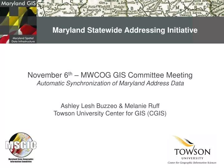
Maryland Statewide Addressing Initiative. Ashley Lesh Buzzeo & Melanie Ruff Towson University Center for GIS (CGIS). November 6 th – MWCOG GIS Committee Meeting Automatic Synchronization of Maryland Address Data. Maryland Statewide Addressing Initiative: Complete.

E N D
Maryland Statewide Addressing Initiative Ashley Lesh Buzzeo & Melanie Ruff Towson University Center for GIS (CGIS) November 6th – MWCOG GIS Committee Meeting Automatic Synchronization of Maryland Address Data
Maryland Statewide Addressing Initiative: Complete • Created the first Maryland statewide coordinated dataset • All of Maryland’s counties participated in the project!
Maryland Statewide Addressing Initiative: Key Partners • Involved several key partners • ESRI supplied licensing for ArcGIS Server to each jurisdiction, and technical support as needed. • MSGIC led a grassroots campaign to enlist jurisdiction cooperation by emphasizing the benefits and critical importance of coordinated distribution of road centerline address data. • The Maryland Highway Safety Office (MHSO) helped fund the Initiative as a component of the Virtual Data Warehouse (VDW) being developed at Towson University. VDW will improve crash reporting and traffic safety by making addressing and other critical data easily accessible to police officers at crash scenes and to traffic safety decision-makers. • The dataset is also being utilized by MD iMap, Maryland’s statewide coordinated base map.
Maryland Statewide Addressing Initiative: Project Status Map
Maryland Statewide Addressing Initiative: Project Information
Maryland Statewide Addressing Initiative:Production Architecture – (one-way) Geocoding Service Towson Child Map Service Map service and associated Geodata service creation Geodata Service Map Service County 1 sends a one-time copy of their centerline to Towson County 1 connects and extracts data, views the map service, or uses the geocoding service Geodata Service County 1 connects and established the replica based on existing data, and synchronizes changes County 1 Parent
Maryland Statewide Addressing Initiative: Project Information
Maryland Statewide Addressing Initiative: How did we get here? • Obtained each jurisdictions centerline data and related information • Input the centerlines into an ETL for consistent schema mappings • Merged each centerline into one statewide centerline • Attributed ZIP codes where empty • Created the map service with an associated Geodata service • Created the geocode service
Maryland Statewide Addressing Initiative: Data Interoperability: Extract, Transform, Load Attribute Creator Attribute Renamer County Centerlines Maryland Statewide Dataset
Maryland Statewide Addressing Initiative: Data Interoperability: Extract, Transform, Load
Maryland Statewide Addressing Initiative: ModelBuilder: Attribute ZIP Codes
Maryland Statewide Addressing Initiative: What can you do with this data? • Geocode • Extract • View
Maryland Statewide Addressing Initiative: Geocode Service • Geocode Service • Geocode a table of information • Find a single address
Maryland Statewide Addressing Initiative: Extract Data • Extract Data • The extract data wizard enables you to extract data from one geodatabase and transfer it to another geodatabase • Any selections or definition queries applied to that data will be honored when the data is extracted • Any related objects associated with this data will also be included (annotation, etc.)
Maryland Statewide Addressing Initiative: View • View • Can view the dataset(s) in several clients • ArcMap • ArcGIS Explorer • Online Viewers • …
Questions? Ashley Lesh, GIS Specialist Center for GIS, Towson University (410) 704-2081 alesh@towson.edu Melanie Ruff, GIS Specialist Center for GIS, Towson University (410) 704-5889 mruff@towson.edu
Maryland Spatial Data InfrastructureConceptual Hierarchy of Components Draft 4-10-2008 MMRG – Contacts, Events, Activities, Initiatives, Minutes Information NSDI Clearinghouse (public) MEGIN Clearinghouse (secure) Catalogs MD iMap BayStat ArcGIS Explorer ArcGIS Desktop Others… Applications Map Views Geocoding Reporting Others… Services Federated Centerline Federated Parcels Statewide Imagery Federated Structures Others… Data