Download
1 / 9
100 likes | 149 Views
Explore the 12,000-mile wartime marvel, the Ho Chi Minh Trail, traversing 625 miles at its widest point through Laos and Cambodia. This ancient supply route, also known as the Truong Son Trail, was captured in a 1968 aerial photo, showcasing an open storage supply dump. Learn about Operation Igloo White and the trail's strategic importance during the Vietnam War, despite failed bombing attempts. Uncover the debate on the Trail's significance in the conflict. Discover how the US NSA Official History of the Vietnam War hails it as a remarkable military engineering feat of the 20th century.

E N D
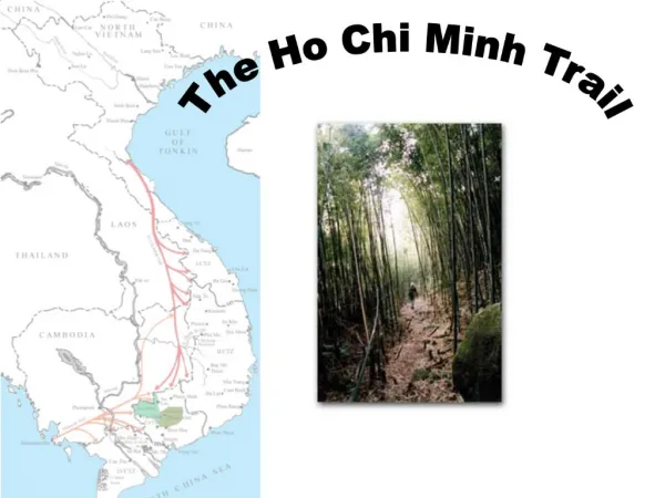
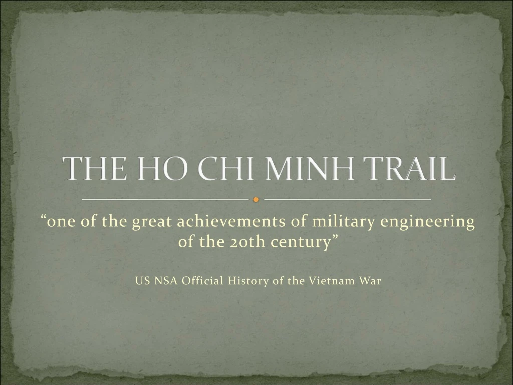
THE HO CHI MINH TRAIL “one of the great achievements of military engineering of the 20th century” US NSA Official History of the Vietnam War
12000 miles 625 miles at widest point Trailed through Laos and Cambodia Had existed for centuries Truong Son Trail
Aircraft reconnaissance captured this image of an open storage supply dump along the Ho Chi Minh Trail, c. 1968. Photo from The War Against Trucks, an official U.S. Air Force publication.
“Operation Igloo White” http://www.youtube.com/watch?v=JbO30to1f60
NVA and Elephants on the Trail “All for the Battle Front”
Bombing didn’t work – maybe propaganda would? “’The Party’ cannot liberate the South because the Republic of Vietnam [South] has blocked the Trail”
Usefulness/Reliability of this Statement? “one of the great achievements of military engineering of the 20th century” US NSA Official History of the Vietnam War