Download
1 / 20
200 likes | 221 Views
This review covers radar operations at Tropical Prediction Center during the 2005 Hurricane Season. It includes analyses of various storms such as Katrina, Rita, Dennis, and more. The review discusses radar data collection, issues with VCP 121, Comm failures, redundancy value, and concludes with insights on radar data management during extreme events.

E N D
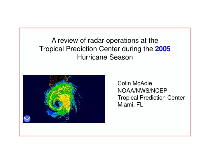
A review of radar operations at the Tropical Prediction Center during the 2005 Hurricane Season Colin McAdie NOAA/NWS/NCEP Tropical Prediction Center Miami, FL
H. Ophelia 09-15 T.S. Tammy 10-05 T.S. Arlene 06-11 H. Rita 09-24 H. Dennis 07-10 T.S. Cindy 07-15* H. Katrina 08-29 H. Emily 07-20 H. Wilma 10-24 H. Katrina 08-25 H. Rita 09-20 H. Dennis 07-09
2005,AUG,25,1700,26.18,79.51,F,CLOSED CIRCULATION WITH DRY SLOT TO N AND W.,RM,KAMX, 2005,AUG,25,1728,26.19,79.50,F,MAX WND 65 KT S QUAD AT 4730 FT,RM,KAMX, 2005,AUG,25,1801,26.16,79.54,F,MAX WND 77 KT S QUAD AT 5075 FT,RM,KAMX, 2005,AUG,25,1829,26.16,79.63,F,WEAK REF NW SEMICIRCLE...MAX WND 75 KT SE QUAD,RM,KAMX, 2005,AUG,25,1902,26.14,79.67,F,80 KTS S OF CTR AT 3900 FT,RM,KAMX, 2005,AUG,25,1929,26.14,79.74,F,85 KT MAX S QUAD AT 3417 FT JUST S OF CTR,RM,KAMX, 2005,AUG,25,2002,26.07,79.84,F,CENTER RAGGED CMA GOOD ZERO ISODOP,CJM,KAMX, 2005,AUG,25,2030,26.00,79.90,G,INBOUND MAX OVER SE BROWARD 75 KT 2300',CJM,KAMX, 2005,AUG,25,2058,25.98,79.95,G,STRONGEST CONV S EYEWALL KEY BISCAYNE AREA,CJM,KAMX, 2005,AUG,25,2134,25.99,79.96,G,CENTRAL CONV BECOMING MORE SYMMETRICAL,CJM,KAMX, 2005,AUG,25,2204,25.97,80.03,G,- -,CJM,KAMX, 2005,AUG,25,2231,25.96,80.10,G,CENTER OVER COAST BROWARD-DADE COUNTY LINE,CJM,KAMX, 2005,AUG,25,2304,25.96,80.16,G,HIGHEST WINDS OFFSHORE ABOUT 70 KT 1500',CJM,KAMX, 2005,AUG,25,2332,25.89,80.24,G,- -,CJM,KAMX, 2005,AUG,26,0000,25.88,80.31,G,- - ,CJM,KAMX,2005,AUG,26,0034,25.78,80.39,G,TPC IN EYE - CALM OUTSIDE,CJM,KAMX, 2005,AUG,26,0101,25.73,80.46,G,75 KT INBOUND OVER CENTRAL DADE 700 FT ,CJM,KAMX, 2005,AUG,26,0126,25.70,80.53,G,- - ,CJM,KAMX, 2005,AUG,26,0201,25.64,80.60,G,TIGHT VELOCITY COUPLET STILL EVIDENT IN VEL ,CJM,KAMX, 2005,AUG,26,0228,25.61,80.71,G,- - ,CJM,KAMX, 2005,AUG,26,0301,25.58,80.82,G,80 KT AT 900 FT OUTBOUND,CJM,KAMX, 2005,AUG,26,0326,25.56,80.93,G,74 KT AT 1600 FT,HDC,KAMX,
VCP 121 can be effective in reducing range-folding (purple haze) - a well-known problem for 88D tropical cyclone observations. However, problems remain in increasing the velocity measurement increment in VCP 121. 2004 – increasing VMI not possible 2005 – possible, but there appears to be a bug in the VCP 121 code. 2006 – problem should be solved in Build 8
Additional issues – AWIPS display (product legend) should clearly indicate VMI at a glance. Currently, it does not do so. Comms failure at KLIX during landfall emphasized the need for a local (WFO) level II archive.
Significant damage to Unisys dish demonstrated the value of redundancy. In this case, AWIPS remained operational. TDWR provided additional backup.
Conclusions • Central collection of radar data vastly improved, but local backup will ensure that valuable data is not lost during extreme events. • Catastrophic failures are possible. • VCP 121is an effective tool for reducing range-folding (purple haze). A residual bug should be resolved for 2006.