Download
1 / 45
450 likes | 729 Views
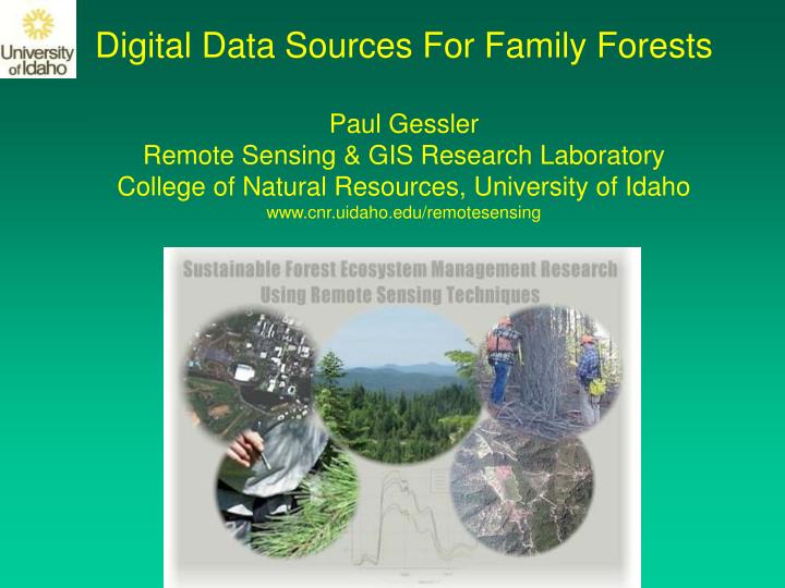
Digital Data Sources For Family Forests Paul Gessler Remote Sensing & GIS Research Laboratory College of Natural Resources, University of Idaho www.cnr.uidaho.edu/remotesensing. Talk Outline:

E N D
Digital Data Sources For Family Forests Paul Gessler Remote Sensing & GIS Research Laboratory College of Natural Resources, University of Idaho www.cnr.uidaho.edu/remotesensing
Talk Outline: • Geographic Information Systems (GIS)1. Definitions, tools 2. Software packages 3. Digital data sources 4. Training courses • Global Positioning Systems (GPS)(generating your own digital data) • Images – Aerial and Satellite, LIDAR (purchasing cooperatives) • Web-based Mapping and Data Management
Talk Outline: • Geographic Information Systems (GIS)1. Definitions, tools 2. Software packages 3. Digital data sources 4. Training courses • Global Positioning Systems (GPS)(generating your own digital data) • Images – Aerial and Satellite, LIDAR (purchasing cooperatives) • Web-based Mapping and Data Management
A Geographic Information System (GIS) is defined as: A system for capturing, storing, checking, integrating, manipulating, analyzing, and displaying data which are spatially referenced to the Earth. Computer & software
Why Use GIS? • Improve organizational integration • Make better decisions, analyze landscape trends & patterns • Make maps • GIS tools provide the “big picture” about the resources under your care and assist you in developing long-term supply strategies, forecasting silvicultural stock, determining harvesting system options, where to plant certain species for optimal returns etc.
Landscape Structure Georeferenced 3-D Visualization
Where to start? • Basic hardware, software: $1350 - $10,000 • Expertise training: short courses • Private Contractors: provide hardcopy maps, digital data, Internet Map Services (IMS) • www.mines.uidaho.edu/geography/ - UI GIS Certificate Program • www.gis.com – ESRI (Arc/Info, ArcGIS, ArcView…) • www.consulting-foresters.com - Northwest Management, private company • www.digitalgrove.net - Private site with lots of useful resources • www.digitshare.org - Sentry Dynamics, private company located at UI Research Park in Post Falls • www.cnr.uidaho.edu/rsgis/education.htm - UI College of Natural Resources • www.cnr.uidaho.edu/remotesensing - UI Remote Sensing & GIS Research Lab
Where to get data? Many places: local, state, federal government agencies, Universities… inside.idaho.edu wagda.lib.washington.edu/ www.ecy.wa.gov/services/gis/data/data.htm www.wsdot.wa.gov/mapsdata/geodatacatalog/default.htm www.dnr.wa.gov/dataandmaps/
Talk Outline: • Geographic Information Systems (GIS)1. Definitions, tools 2. Software packages 3. Digital data sources 4. Training courses • Global Positioning Systems (GPS)(generating your own digital data) • Images – Aerial and Satellite, LIDAR (purchasing cooperatives) • Web-based Mapping and Data Management
GPS - Global Positioning Systems $20 billion US Taxpayer Investment
GPS Equipment - Receivers Price range: $150 - $25,000 GPS Equipment - Antennas Mounted on a roof, a pole, a truck, or a person.
GPS references www.trimble.com www.aero.org/publications/GPSPRIMER/ www.colorado.edu/geography/gcraft/notes/gps/gps_f.html
Laser Rangefinders • Distance and Height Measurement • GPS Offset Mapping & GIS Data Capture (many units interface directly with GPS through built-in RS232 interfaces) • Timber Cruising • GIS data capture • Wildlife locations Wireless integration w/GPS & use with data dictionaries
Basic Features to look for: • Level of accuracy required: differential corrections needed? • Integrated beacon: FM, or Omnistar… • Integrated WAAS/EGNOS/GLONASS capability • Data storage capacity, logging (RTCM, NMEA) • Multipath rejection – Everest • Data dictionaries • Wireless integration • Weight, battery life, vehicle kit
Talk Outline: • Geographic Information Systems (GIS)1. Definitions, tools 2. Software packages 3. Digital data sources 4. Training courses • Global Positioning Systems (GPS)(generating your own digital data) • Images – Aerial and Satellite, LIDAR (purchasing cooperatives) • Web-based Mapping and Data Management
Traditional film-based aerial image capture will shortly become a historical technology – replaced by digital cameras Reasons: resolution, digital format convenience, inexpensive good quality printers, satellite capabilities
Key points/issues to be aware of: • Aerial photo/image is NOT A MAP! – distortions due to camera lens, aircraft movement, topography • Various levels of geometric correction and georeferencing • If desire is to use for mapping, seek ortho-rectified images – advantages to satellite based images • Ortho-rectified means corrections for all distortions – tools that warp images using a few control points are NOT ortho-rectified – requires digital elevation model and more sophisticated photogrammetry software
Some providers: http://www.cnr.uidaho.edu/remotesensing/rs_courses/for375/375.htm www.asprs.org - American Society for Photogrammetry and Remote Sensing http://www.possys.com/ http://edcsns17.cr.usgs.gov/EarthExplorer/ - USGS Earth Explorer http://www.nima.mil/ - National Geospatial Intelligence Agency Many value-added image products are being developed and more are on the horizon
Forest Health/Status Index Pilot Study Potlatch Corp and Forest Capital – initial end user pilot study
NIR - R Normalized Difference Vegetation Index: NDVI = NIR + R
Image purchasing cooperatives: Potlatch Corp., County Govt., AVISTA, Coeur d’Alene Tribe
LIght Detection And Ranging (LIDAR) • 1st developed in 1960 by Hughes Aircraft inc. • Modern computers and DGPS make it practical: requires extremely accurate timing • Measures distance to surfaces by timing a laser pulse and it’s corresponding return(s) • Lidar data are the X, Y, Z positions of each return • Typically used in very accurate mapping of topography
Discrete return lidar: Millions of X,Y,Z points Area of 1.0 X 0.75mi. includes ~ 440,000 returns (canopy)
Talk Outline: • Geographic Information Systems (GIS)1. Definitions, tools 2. Software packages 3. Digital data sources 4. Training courses • Global Positioning Systems (GPS)(generating your own digital data) • Images – Aerial and Satellite, LIDAR (purchasing cooperatives) • Web-based Mapping and Data Management
SUMMARY • Many digital data sources and tools – touched on several (GIS, GPS, Imagery, Web-based) • Should private landowners invest in these tools? Web mapping is on the horizon, subscription based – will require high speed internet connections • Value added products are becoming available (fire fuels, forest health/status index…) • Many training opportunities exist – some online • New mapping technologies on the horizon for assessing forests Lidar, value-added image products – forest health
Using spatial 3-PG to predict carbon sequestration over the Priest River Experimental Forest
3-PG (Physiological Principles Predicting Growth) is forest growth process model based upon physiological processes • Empirical vs. Process models: • empirical - based on statistical relationships, predicting • outcomes (i.e. Predicting forest growth based on past growth) • process - based on processes, understanding relationships • (i.e.Predicting forest growth based on physiological processes) Process models can incorporate empirical models
Maximum Total Biomass Allocated to Highest Value Species 100 yrs without alteration 200 yrs without alteration 100 yrs, 20% reduction ASW 100 yrs, 40% reduction ASW ABGR ABLA PIMO TSHE THPL 3-PGS Final Outputs Maximum Total Biomass 100 yrs without alteration 200 yrs without alteration 100 yrs, 20% reduction ASW 100 yrs, 40% reduction ASW Grand Fir Subalpine Fir Western White Pine Western Hemlock Western Red Cedar