Download
1 / 41
430 likes | 724 Views
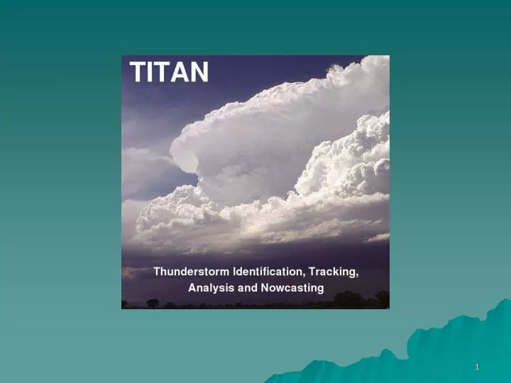
TITAN. Workshop on Techniques for Convective Storm Nowcasting Mike Dixon Earth Observing Laboratory (EOL) Research Applications Laboratory (RAL) National Center for Atmospheric Research (NCAR). NCAR, Boulder, Colorado Friday 20 May 2011.

E N D
TITAN Workshop on Techniques for Convective Storm Nowcasting Mike Dixon Earth Observing Laboratory (EOL) Research Applications Laboratory (RAL) National Center for Atmospheric Research (NCAR) NCAR, Boulder, Colorado Friday 20 May 2011
The TITAN algorithm is designed to identify and track convective storms – it is an extrapolation algorithm • Detection is performed using a series of reflectivity thresholds and other parameters • Tracking allows storm motion estimation and hence forecasting
A brief history of TITAN Started small …. Grew iteratively over time …
TITAN development begins at NCAR1990 - 1992 • Development began on porting the original FORTRAN software to C/C++, running under UNIX. • Cartesian conversion from polar coordinates was implemented. • Storm identification and tracking was improved. • Rview/TimeHist display was developed. • TITAN was tested on the prototype NEXRAD radar in Denver, Colorado.
TITAN development at NCAR1992 - 1994 • Extrapolation forecasting was added to the TITAN tracking module. • The Federal Aviation Administration (FAA) became interested in the forecasting potential of TITAN • TITAN was configured to run on the Kavouras 2-D radar mosaic over the continental US. • This ran operationally for an FAA demonstration in 1993. • TITAN rap operationally in RAPS93 field experiment in the Colorado Front Range.
TITAN/auto-nowcaster development at NCAR1994 - 1996 • In 1994, work began on the NCAR Auto-nowcaster, of which TITAN is an important component. • NCAR scientists worked with TITAN and the auto-nowcaster, validating the tracking and the forecasts. • TITAN and the auto-nowcaster ran during the RAPS95 field experiment in the Colorado Front Range. • CIDD was used as the general-purpose display for TITAN for the first time.
Weather modification experimentCoahuila, Mexico 1996 - 1998 • A randomized seeding experiment for rain enhancement was carried out in Coahuila, Mexico. • TITAN was ported to an early version of LINUX and run operationally on a PC for the first time. • TITAN was used as the operational software for controlling the seeding, gathering aircraft track data. • The seeding evaluation (re-randomization) components of the software were added.
Advanced Operational Aviation Weather System(AOAWS) Taiwan • The AOAWS is built on the TITAN software system • Many enhancements were made to the TITAN software system for this project
National Convective Weather Forecast system (NCWF) • NCWF uses a blend of Titan storm identification and tracking and other techniques to produce a forecast
Example of using TITAN for nowcastingRecent Tornado Outbreak inEastern USA
Time history allows analysis of the storm properties Time history Time-height profile of rotation
Severe weather outbreakState of São Paulo • The severe events on October, 17th and on March 29th developed and evolved in an environment under the influence of a baroclinic system reaching the State of São Paulo • They produced a squall line,with intense cells forming ahead of the frontal disturbance with an extended trailing stratiform area.
AUTOMATIC ALERT ExtJS MANUAL ALERT Weather Data Automated Weather Alert System webserver client MAPSERVER XML browser Apache XML IPMet PostGIS Storms browser XML TITAN
Active Layers: • CAPPI • Topography • City Borders • Rivers • Roads • TITAN Storms: Current and Forecast
IPMet Twitter showing severe weather events in real-time Drawing tool is available for user’s area definition
25 May 2004: TORNADOES & SUPERCELLS • C1: ‘Weak Echo Region’ and radial velocities inside the core indicating a strong updraft and cyclonic rotational forces between 4 and 9km height (Vr35 m.s-1); • T1: spawning a tornado (F2-F3), ‘hook echo’ up to 6km and radial velocities ranging from –28 to +9 m.s-1 forming a ‘couplet’ (shear maximum of –5,2x10⁻³s-1).
Total cost of damage $2b Hail up to 9 cm observed Observed by two radars Sydney (10cm) Kurnell (5cm Doppler) Lifetime 5.5 hr Sydney hailstorm 14 April 1999 49 dBZ storm track
Thunderstorm Interactive Forecast System (TIFS) Graphical interactive interface that streamlines generation of severe storm warnings Displays TITAN output from Nowcast Applications Servers as guidance
Thunderstorm impacts on airport operations • Lightning → ramp closure • Aircraft docking • Passenger loading / unloading • Refuelling / catering / cleaning • Flight delays / cancellations • Air traffic – delays / diversions • Flow-on impacts can be extensive • Manual alerts ineffective
Automated Thunderstorm Alert Service information flow Graphic products (1 min) Text alert Electric / magnetic / optical sensors
Combined lightning and radar product No radar coverage