Download
1 / 3
30 likes | 221 Views
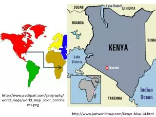
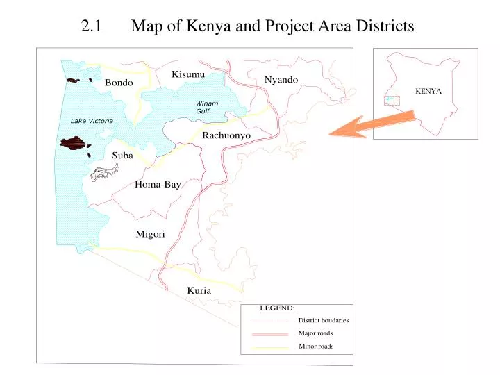
2.1 Map of Kenya and Project Area Districts. 2.2 Map of Rachuonyo & Homabay Districts showing Kimira Irrigation Scheme Area. Kimira Project Location and Area Rachuonyo District Gross area = 1,790ha Net Irrigable area = 808ha will be developed Location of Intake River Kibuon

E N D
2.2 Map of Rachuonyo & Homabay Districts showing Kimira Irrigation Scheme Area • Kimira Project Location and Area • Rachuonyo District • Gross area = 1,790ha • Net Irrigable area = 808ha will be developed • Location of Intake • River Kibuon • Catchment area - 533km2 • Average low discharge - 1.66m³/s • Beneficiaries • 1616 Households • Average Irrigated plot size = 0.5ha
2.3 Map of Rachuonyo & Homabay Districts Showing Oluch Irrigation Scheme Area • Oluch Project Location and Area • Homa Bay & Rachuonyo Districts • Gross area = 1,308ha • Net Irrigable Area = 666ha will be developed. • Location of Intake • River Tende • Catchment area - 400km2 • Average low discharge - 1.41m³/s. • Beneficiaries • 1334 Households • Average Irrigated plot size = 0.5ha