Download
1 / 29
290 likes | 456 Views
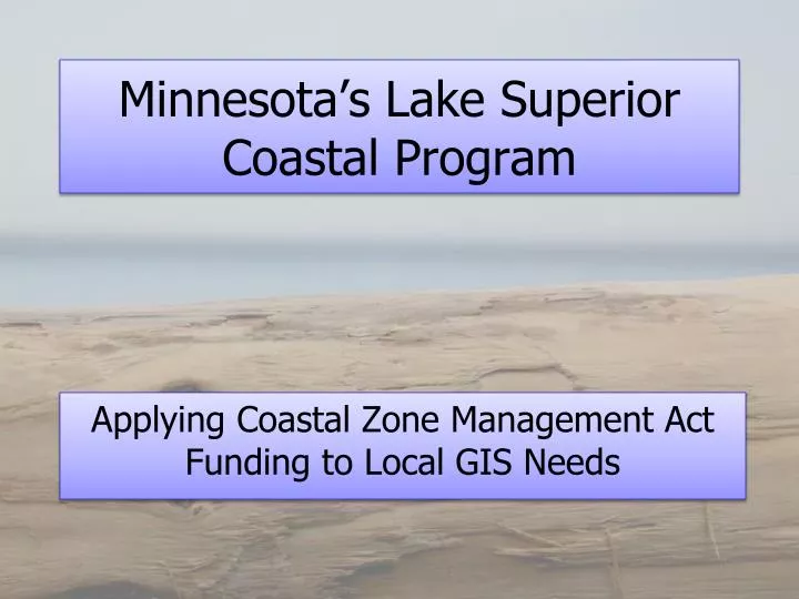
Minnesota’s Lake Superior Coastal Program. Applying Coastal Zone Management Act Funding to Local GIS Needs. Coastal Zone Management Program Strategy. CZM Outcomes: Healthy and productive coastal ecosystems. Environmentally, economically, and socially vibrant and resilient coastal communities.

E N D
Minnesota’s Lake Superior Coastal Program Applying Coastal Zone Management Act Funding to Local GIS Needs
Coastal Zone Management Program Strategy CZM Outcomes: Healthy and productive coastal ecosystems. Environmentally, economically, and socially vibrant and resilient coastal communities. Source: NOAA CZM Program Strategic Plan 2007-2012
Coastal Zone Management Program Components Program Administration (306) Grant Program (306/306A) Enhancement Program (309) Coastal Nonpoint Program (310)
Coastal Zone Management Funding Minnesota Funding
Technical Support • Deliver GIS Data and Software • GIS data from existing libraries • Federal • State • County • MLSCP pass through grants • Other • MN DNR GIS tools
GIS Data and Applications • MN DNR’s Data Resource Site (DRS) • LandView • DNR Garmin • GIS Data Library • ArcView Extensions (3.x & 9.x)
GIS Support • Communities contact MLSCP and request support • MLSCP staff determine best approach to address the need • Projects have ranged from quick maps to grants to acquire hardware and software
Town of Tofte • Town comprehensive plan update • Live GIS to during the planning process • Identified the need for a town center plan • Tofte received a MLSCP STAR grant to create a town center plan. • Another MLSCP STAR grant to make zoning changes, and begin implementation of the town center plan.
Tofte/Schroeder SSD • Prepared tabular data for use in GIS • Coordinated data collection in septic system assessment for the district • Assessment data used PIN numbers, which merged with Cook County parcel data. • Point location data were collected for well, tank, mound, and driveway. • Digitized soil survey maps from 1977 • Analysis of the results followed.
Duluth Township Comprehensive Land Use Plan to Zoning • MLSCP staff created maps to aid the planning process • Live GIS was used during meetings to focus on key areas • Worked with subcommittees to help develop overlay districts • Updated the zoning data • Assist in variance requests
Lakewood Township • MLSCP grant to update comprehensive plan • Assisted in gathering resource data • Created resource maps, & summaries • Provide live GIS to help focus on key areas
clinton.little@dnr.state.mn.us mndnr.gov/waters/lakesuperior