Download
1 / 31
310 likes | 471 Views
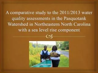
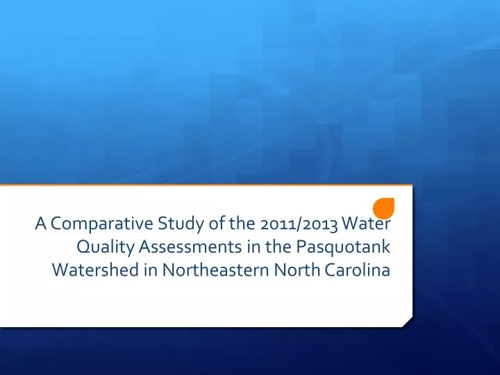
A Comparative S tudy of the 2011/2013 Water Q uality A ssessments in the Pasquotank Watershed in Northeastern North Carolina. Team Members . Anthony Lynn- Junior Dorothy Brice - Sophomore Robin Brice -Junior

E N D
A Comparative Study of the 2011/2013 Water Quality Assessments in the Pasquotank Watershed in Northeastern North Carolina
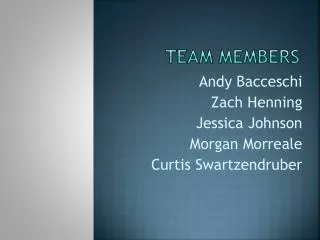
Team Members Anthony Lynn- Junior Dorothy Brice- Sophomore Robin Brice-Junior Major- Computer Science Major- Mathematics Major- Biology Winston Salem State University Virginia Union University Fayetteville State University
Mentor Mr. Jeffrey Wood Elizabeth City State University
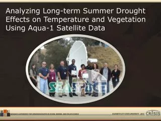
Abstract The Pasquotank River Watershed is found in Northeast North Carolina beginning in the Great Dismal Swamp at the Virginia/North Carolina border and flows into the Albemarle Sound. The watershed provides a transition between spawning grounds and the waters of the Albemarle Sound. The sound serves as a nursery area for many fish species and is home to numerous sport and commercial species. Tributaries enclosed by various landforms such as swamp, farmlands, and increased housing development supply the watershed. These landforms make both negative and positive contributions to the water quality of the watershed. The 2013 Research Experience for Undergraduates Pasquotank River Watershed Team completed tests of five tributaries and the river itself.
Abstract These test points were derived from the 2012 Watershed Team research project in order to compare the results. Streams tested were Newbegun Creek, Knobbs Creek, Areneuse Creek, Mill Dam Creek, and Sawyers Creek. These streams, along with the river, covered a large area of the watershed and provided a wide variety of shore development from swampland and farmland to industrial development. In-house tests performed on this year’s samples included pH, salt, total dissolved solids, and conductivity. Air/water temperature, dissolved oxygen, wind speed/direction, and turbidity/clarity measurements were taken in the field. The results from these readings were placed into an online database and correlated to the location of the sample using Google Maps®. The data were then compared to the 2011 project data and analyzed for any variations or similarities.
What is a Watershed? • Description • Examples
Pasquotank Watershed • Description • Location • Spawning Grounds
Waterways Tested • Pasquotank River • Mill Dam Creek • Areneuse Creek • Newbegun Creek • Sawyers Creek • Knobbs Creek
Tests Performed • Dissolved Oxygen • Turbidity • Clarity • Total Dissolved Solids • Salinity • Conductivity • pH
Readings that Affect Tests • Wind Speed/Direction • Air Temperature • Water Temperature
Dissolved Oxygen • Description • Milwaukee Dissolved Oxygen Meter MW-600 • Procedure
Clarity • Description • Secchi Disk (Black and White side) • Procedure
Turbidity • Description • Secchi Disk (Black side) • Procedure
Total Dissolved Solids (TDS) • Description • LaMotte Tracer PockeTester • Procedure
Salinity • Description • LaMotte Tracer PockeTester • Procedure
Conductivity • Description • LaMotte Tracer PockeTester • Procedure
pH • Description • Aquarium Portable Digital pH Meter • Procedure
Wind Speed / Air Temperature • Description • SkymateSpeedtechSm-18 Wind Meter • Procedure
GPS • Description • Garmin GPSMAP 60CSx • Procedure
Water Temperature • Description • Mercury Thermometer • Procedure
Water Quality Index 2011 2013
Conclusion • Pasquotank Watershed • Land Association • Major Correlation • Increased Capability
Future Work • Testing Equipment • Research Platform • Added Tests • Add Test Points • Additional Testing Seasons
Acknowledgments • Dr. Linda Hayden • Mr. Lee Hayden • Mr. Jeffrey Wood • REU Staff • CReSIS • National Science Foundation
References • Missouri Botanical Garden. (2004) What Is a Watershed? [Online]Available. http://www.mbgnet.net/fresh/rivers/shed.htm. • United States Environmental Protection Agency. (2013). What Is a Watershed? [Online]. Available. http://water.epa.gov.type.watersheds.whatis.cfm • Sanjay, S. (2006).Watersheds - Functions and Management U.S. Department of Agriculture[Online]. Available.http://edis.ifas.ufl.edu. • The Nature Conservancy.(2013). Journey with Nature Watersheds 101.[Online]. Available. http://www.nature.org/ourinitiatives/regions/northamerica/unitedstates/indiana/journeywithnature/watersheds-101.xml. • Environmental Monitor.(2013). What Is Dissolved Oxygen in Water? [Online]. Available. http://www.fondriest.com/news/whatisdissolvedoxygen.htm. • Nixon, Jay, Pauley, Sara .Water Quality Parameters.[Online]. Available. http://www.dnr.mo.gov/env/esp/waterquality-parameters.htm July 17, 2011 • USGS Georgia Water Science Center.(2013).Water Resources of Georgia.[Online].Available. http://ga.water.usgs.gov. • How Does TDS (Total Dissolved Solids) Affect Water Purification?" (2013).[Online].Available. http://www.tdsmeter.co.uk/abouttds.html • Srinivas, H. “An Introduction to Urban Watersheds.”[Online]. Available. http://www.gdrc.org/uem/water/watershed/introduction.html. • University of Utah. (2013) PH.[Online] .Available. http://extension.usu.edu/waterquality/htm/whats-in-your-water/ph