Download
1 / 44
440 likes | 453 Views
This document presents the early results of the DART (Dynamics of the Adriatic in Real-Time) project, which aims to improve predictive capabilities of marginal seas with topographic controls. It evaluates the Navy Coastal Ocean Model's ability to predict instabilities, fronts, and eddies, as well as seasonal time-scale prediction. The document also showcases real-time coastal monitoring and the operational use of the Shallow-water Environmental Profiler in Trawl-safe Real-time configuration (SEPTR).

E N D
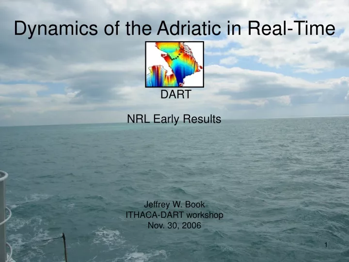
DART Dynamics of the Adriatic in Real-Time NRL Early Results Jeffrey W. Book ITHACA-DART workshop Nov. 30, 2006
DART Dynamics of the Adriatic in Real-Time (DART) Project Objectives • Improve our predictive capabilities of marginal seas with topographic controls • Evaluate Navy Coastal Ocean Model’s (NCOM) ability to predict instabilities, fronts, and eddies • Evaluate seasonal time scale prediction in NCOM • Demonstrate real-time coastal monitoring • Operational use of Shallow water Environmental Profiler in Trawl-safe Real-time configuration (SEPTR)
Split GS12 GS11 100 m 200 m GS10 GS9 GS8 Palagruza Island 200 m GS7 GS6 1000 m 100 m GS5 GS4 GS3 500 m GS2 100 m GS1 Lesina Cape Gargano 50 m Gulf of Manfredonia
Mean Currents along the Palagruza Sill Western Adriatic Current (WAC) has strong surface intensified bursts The central Sill is dominated by eddy activity Significant Eastern Adriatic Current (EAC) flow passes through Croatian island passages In agreement with NCOM, measurements suggest EAC flow concentration near the Croatian coast DART
East Adriatic Current (EAC) meandering jet: strong EAC response in island passage to bora wind DART06a cruise time
Observed Bottom Density Time-Series DART • Measured bottom density time-series with BARNY moorings • 10 time-series recovered • Early results show spreading of North Adriatic Dense Water over much of the sill as stratification erodes
Long Term Mooring Data Gaps DART • DART06a • No ADCP gaps • GS8 pressure sensor failure (T/S still ok) • GS6 problems with pressure & T/S data (some data might be recovered with work) • DART06b & c • GS11 ADCP failure after June 22 due to shackle corrosion (pressure & T/S data ok until mooring recovery on Aug. 19) • GS9 all sensor failure after July 30 due to termination mechanical failure • GS12 pressure sensor failure (T/S still ok) • not all wave/tide gauges have been thoroughly checked yet
GS3 GS2 GS1 30 m A90 (SEPTR) A50 (SEPTR) Cape Gargano A20 (BARNY) 100 m 50 m B90 (SEPTR) 20 m Manfredonia B75 (BARNY) Met. Buoy Gulf of Manfredonia B50 (SEPTR) Wave Buoy C90 (BARNY) C50 (SEPTR)
DART06a SEPTR data DART • Direct Measurement of Frontal Downwelling • A very strong burst of vertical velocity from the SEPTR ADCP extends to the pycnocline of the following SEPTR CTD profile and occurs as the stratification changes • Other bursts also recorded
SEPTR wave measurements Nowcast/Forecast SWAN compared to SEPTR DART
DART06a SEPTR data DART • SEPTR provided successful time-series monitoring of the passage of fronts, stratification changes, optical environment, etc. • SEPTR is a unique tool for evaluation of NCOM nowcast/forecast prediction of frontal structures and their locations NCOM SEPTR
DART06b SEPTR data DART
DART06b SEPTR data DART
DART06b SEPTR data DART
DART Nowcast/Forecast NCOM NCOM Resolution = 1 km Domain = full Adriatic Atm. Forcing = 8-km ALADIN SST relaxed to MODAS analysis B.C. = Global NCOM Rivers = Monthly climatology but Real-time Po discharge Daily 48-h. hindcast + 48-h. forecast
DART Nowcast/Forecast NCOM NCOM Resolution = 1 km Domain = full Adriatic Atm. Forcing = 8-km ALADIN SST relaxed to MODAS analysis B.C. = Global NCOM Rivers = Monthly climatology but Real-time Po discharge Daily 48-h. hindcast + 48-h. forecast
NCOM Sections predicted frontal temperature structure along DART sections
AquaShuttle surveys (DART06a) • Over 132 hours of measurements spaced over 10 days spread over the cruise period • Measurements of temperature, salinity, pressure, and fluorescence from the surface to about 20 m • Larger scale characterizations (10-100 km): Gulf of Manfredonia, filaments, etc. • Smaller scale characterizations (<1 - 10 km): individual frontal structures
AquaShuttle surveys DART March 15 example
NRL remote sensing Chlorophyll a & SST images for the Adriatic and Central Adriatic zoom (8 images per day) DART
NRL remote sensing Chlorophyll a & SST images for the Adriatic and Central Adriatic zoom (8 images per day) DART
Real-Time Remote Sensing March 24 cold filament identified by remote-sensing DART
Aqua-Shuttle Survey Cold filament tracked for 24 hours (dots show temperatures at depths < 6 m)
Aqua-Shuttle Survey Lastov & CT Line Seg 1 Seg2 Seg 6 Seg 3 Seg 5 Seg 4
Aqua-Shuttle Survey Lastov & CT Line
Aqua-Shuttle Survey Lastov & CT Line
DART R/V Universitatis CTD Section along CT Line Taken from Sep. 20, 19:10 to Sep. 21 02:11, 2006 Early Analysis and Graphics by David Bigazzi (University of Marche) and Ivica Vilibic (IOF)
Current/Future Directions DART • Possible Topics for Publications • SEPTR observations of frontal dynamics • NCOM bias effect on frontal predictions • Observations and predictions of mesoscale eddies, filaments, and fronts • Seasonal fluxes at the Palagruza Sill • Topographic instability generation • Frictional dissipation and vertical tide structure • Internal Tides • Mesoscale variability and turbulence • Comparison of multiple model predictions for the central Adriatic • Evaluation of the importance of high-resolution wind forcing • Comparison between NCOM and HYCOM on sill overflow prediction