Download
1 / 6
60 likes | 259 Views
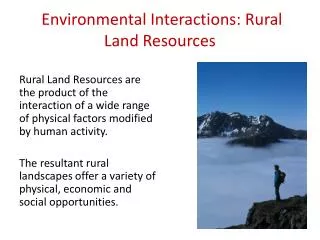
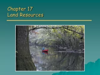
Rural Land Resources. The Lake District: An Upland Glaciated Landscape. The Lake District. The Lake District: Facts and Figures. The Lake District is the largest National Park in England It covers 885 square miles. It’s highest mountain is Scafell Pike at 978m (3210 feet)

E N D
Rural Land Resources The Lake District: An Upland Glaciated Landscape
The Lake District: Facts and Figures • The Lake District is the largest National Park in England • It covers 885 square miles. • It’s highest mountain is Scafell Pike at 978m (3210 feet) • It’s longest lake is Windermere which is 10.5 miles long. • There are 12 million visitors per year. • 89% of visitors to the Lake District come by car.
The Lake District: Relief • Deep U-Shaped valleys dissect the upland landscape. • 16 Ribbon Lakes occupy many of these valleys. • There is a lot of evidence to prove that the Lake District was once affected by glaciation.
Task 1: Using your O.S map of the Lake District, Find 3 features of glaciation and write down the main processes that formed them. Remember to use actual names and grid references eg. Stickle Tarn 285 075