Download
1 / 14
140 likes | 299 Views
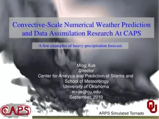
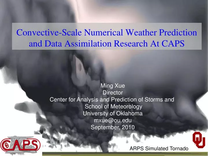
Convective-Scale Numerical Weather Prediction and Data Assimilation Research At CAPS. Ming Xue Director Center for Analysis and Prediction of Storms and School of Meteorology University of Oklahoma mxue@ou.edu September, 2010. ARPS Simulated Tornado.

E N D
Convective-Scale Numerical Weather Prediction and Data Assimilation Research At CAPS Ming Xue Director Center for Analysis and Prediction of Storms and School of Meteorology University of Oklahoma mxue@ou.edu September, 2010 ARPS Simulated Tornado
Storm-Scale Convection-Allowing Ensemble and Convection-Resolving Deterministic Forecasting • CAPS/OU has been carrying out a project since 2007 to develop, conduct and evaluate realtime high-resolution ensemble and deterministic forecastsfor convective-scale hazardous weather. Forecasts were directly fed to the NOAA HWT (Hazardous Weather Testbed) and evaluated in realtime by forecasters and researchers in an organized effort. • Goals: To determine the optimal design, configurations, and post-processing of storm-scale ensemble prediction, and to provide the products for evaluation by forecasters and researchers, and test storm-scale data assimilation methods. • Spring 2010: 26-member 4-km ensemble and one 1-km forecastsfor full CONUS domain. 30-hourly daily forecasts over 7 weeks. Assimilation of data from 120+ radars. Multi-model (WSR-ARW, WRF-NMM and ARPS), multi-physics, perturbed IC and LBC (from SREF).
1 km WRF-ARW forecasts of composite reflectivity 13h 13Z Observed radar mosaic reflectivity 14h 14Z 15h 15Z
June 14, 2010 OKC Flooding 13h 13Z Probability-matched ensemble mean hourly accumulated precipitation (mm) Max=151mm Max=71% Raw probability ofhourly precipitation >0.5 inch 14h 14Z Max=125mm Max=71% 15h 15Z Max=141mm Max=64%
12–18Z accumulated precipitation: 18h(June 14, 2010 – OKC Flood Day) SSEF Prob match SSEF mean QPE SREF mean SREF Prob match NAM HWT images
18–0Z accumulated precipitation: 24h(June 14, 2010 – OKC Flood Day) SSEF Prob match SSEF mean QPE SREF mean SREF Prob match NAM HWT images
ETS for 3-hourly Precip. ≥ 0.5 in 2009 (26-day) 2008 (32-day) With radar With radar no radar no radar 12 km NAM 12 km NAM Probability-matched score generally better than any ensemble member 2 km score no-better than the best 4-km ensemble member – may be due to physics 1-km score better than any 4-km member and than the 4 km PM score. Radar data clearly improves precipitation forecasts, up to 12 hours. High-resolution forecasts clearly consistently better than 12 km NAM.
Comparisons of reflectivity GSS (ETS) scores of SSEF, HRRR and NAM for Spring 2010 CAPS SSEF Ensemble PM Mean CAPS SSEF 1 km Model CAPS SSEF ARW-CN(control w/o radar assimilation) CAPS SSEF ARW-C0(control w/o radar assimilation) HRRR NAM Corollary Lesson: To provide a “fair” comparison Between CAPS and HRRR, the 01Z and 13Z runs for HRRRshould be used
Comparison of CAPS 4 km Cn/C0 2008 Forecasts with McGill 2-km MAPLE Nowcasting System and Canadian 15-km GEM Model 4km with radar MAPLE 4km with radar 4km no radar CSI for 0.2 mm/h Correlation for reflectivity Courtesy of Madalina Surcel of McGill U. (Surcel et al. 2009 Radar Conf.)
Future Plan (over the next three years) • General direction: more emphasis on aviation weather (e.g., 3 weeks in June + May), more runs/day, shorter forecast ranges, fine-tuning of ensemble design, • Multi-scale IC perturbations, EnKF-based perturbations • More intelligent choices of physics suites, possibly introduce stochastic physics. • Addition of Navy’s COAMPS model (4 models total) • Improved control initial condition via advanced data assimilation • Possible EnKFdata assimilation • Possible hybrid ensemble-variational analysis based on the operational GSI framework • Produce calibrated storm-scale ensemble products. Post-analysis and probabilistic products: e.g., calibration, bias removal, detailed performance evaluation, cost-benefit/trade off assessment, effective products for end users (e.g., those for aviation weather, severe storms); • Integration/coordination with national mesoscale ensemble efforts (DTC/DET collaborations). • Possibly set up a CONUS-sized quasi-operational storm-scale ensemble forecasting system using university-based supercomputers.
CAPS Realtime Convection-Allowing-Resolution Hurricane Forecasts • In fall 2010, CAPS is producing experimental single-large-domain 4-km hurricane forecasts over Atlantic • 48 hour forecasts twice daily (00 and 12 TC) • Two sets of WRF-ARW forecasts, using GFS and global EnKF analyses and corresponding LBCs. Global EnKF and forecasts produced by Jeff Whitaker of ESRL. • Goals: Assessing convection-resolving model in predicting TC genesis, track, intensity and structure. • Experiment ongoing and systematic evaluation to be performed.
42 hour forecast valid at 2 pm today Dx =4 km 1800x900x50 grid