Download
1 / 51
520 likes | 777 Views
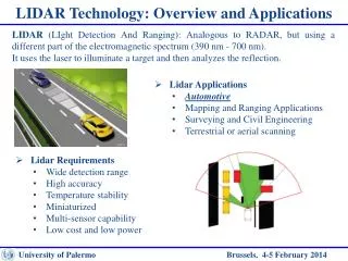
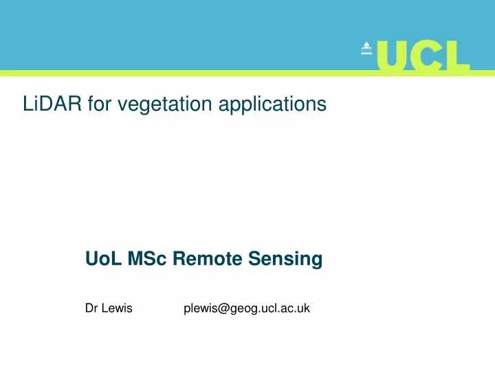
LiDAR for vegetation applications. UoL MSc Remote Sensing Dr Lewis plewis@geog.ucl.ac.uk. Introduction. Introduction to LiDAR RS for vegetation Review instruments and observational concepts Discuss applications arising for measuring and monitoring vegetation primarily forests.

E N D
LiDAR for vegetation applications UoL MSc Remote Sensing Dr Lewis plewis@geog.ucl.ac.uk
Introduction • Introduction to LiDAR RS for vegetation • Review instruments and observational concepts • Discuss applications arising for measuring and monitoring vegetation • primarily forests
Why LiDAR? • Main reason: • (relatively) direct measurement of tree/canopy height • Tree height strongly correlated to other properties • Woody biomass • Age etc. • BRDF and other radiometric RS • Need to infer properties from signal
Alternative technologies • Stereo Photogrammetry • Tree height in sparse canopies • Need to extract ground height • InSAR • Scattering height not directly canopy height • Density, wavelength, polarisation • Need to subtract ground height
d1 d2 Basis of LiDAR measurement • t = 2 d / c • h = d1- d2= (c/2) (t1- t2) • c = 299.79 x10⁶ m/s • i.e. 4.35 ns flight time per m h
Wavelength • Typically use NIR 1064 nm • Green leaves scatter strongly • Atmospheric transmission high
Platform and scanning • Requires precise knowledge of platform location and orientation • GPS • INS • Typically mirror scanning • On aircraft
Time (distance) Types of LiDAR system • Discrete return • ‘Waveform’
Airborne Small footprint Discrete return LiDAR
beam high chance of penetrating holes in a vegetation canopy to provide ground samples height measurement more easily associated with a single ‘object’ rather than blurred over some area i.e. greater chance of hitting a ‘hard’ target. e.g. 0.1 mrad from 1000 m giving a footprint of around 10 cm at nadir Small footprint
Small footprint • Chance may miss tree tops • Horizontal sampling important • May double count
Discrete return LiDAR • Most modern systems: • First and last return • need to distinguish crown/ground points
Crown/ground points • Can use e.g. local minima to determine ground • And/or intensity of return
Complicating effects • High slope can complicate local minima filtering • As can any understorey
Waveform LiDAR • Sample returned energy • Into equal time (distance) bins
Use larger footprint (10s of m) • Backscattered energy low • Increased signal (integral over area) • Enable measurement of whole tree (canopy) • and ground • Trade-off with slope effects
Ground signal more spread for slope (or roughness) More likely to become mixed with canopy signal for higher slopes
GLAS on IceSat: 70 m footprint • ground slope of 10o • ground signal to be spread over 70tan10o • 12.34m • complicates ability to retrieve canopy information over anything but very flat ground • 5o for GLAS? • LVIS: 25 m footprint • Apparently little real slope effect (4.4 m spread for 10o) • Same order effect as other uncertainties • Position • multiple scattering • Gaussian energy distribution across footprint
Example systems: Discrete Return • Cambridge University • Optech ALTM 3033 LiDAR • Piper Navajo Chieftain aircraft • 33,000 obs per s • first and last returns and intensity • operating altitude of 1000 metres • RMS ht. accuracy of < +/- 15cms • made available to NERC ARSF
Other UK operators • Environment Agency • Infoterra • using similar systems • Airborne Discrete return LiDAR very much operational system • Most information extraction simple height maps • But multitude of practical uses for these
Waveform LiDAR • SLICER • NASA instrument 1990s+
swath width flight path telescope FOV SLICER • swath of five 10-m diameter footprints • waveform 11 cm vertical sampling (0.742 ns) • and can be flown at relatively high altitudes • e.g. 5000m AGL in Means et al, 1999 • Horizontal positioning accuracy is around 5-10m • Larger receiver telescope than illuminated beam
Multiple scattering • Large footprint, particularly larger receiver gives rise to multiple scattering influence on signal • Visible as below-ground signal
p1 p3 p2
First order scattering With multiple scattering Measurement SLICER forest measurements and modelling Note magnitude of ground returns
Vegetation Canopy LiDAR (VCL) Spaceborne concept Also CARBON-3D concept (with multi-angular spectroradiometer)
LVIS (Laser Vegetation Imaging Sensor) Airborne simulator for VCL 25 m footprints with 20 m along- and across-track sampling.
GLAS (Geoscience Laser Altimeter System) LiDAR, launched in 2003. 70 m footprint, so not designed for vegetation applications, although active area of research in recent years.
Direct Measurements • canopy height, sub-canopy topography and vertical distribution of intercepted surfaces • direct or near-direct information from LiDAR • either of the LiDAR systems considered here • (discrete return and waveform)
Caveats • discrete return systems • forest density is not too high • for both: complicating factors • e.g. high slopes, very rough ground or sub-canopies • slope only important to small footprint systems for local spatial operations • e.g. local minima filtering
Caveats • ‘hit’ may not come very top of a tree • tree shoulders in discrete return down-bias estimates of canopy height • Impact varies with tree shape and density • e.g. more problematic for conical trees • apply some calibration to LiDAR-measured tree heights • particularly from discrete return systems • other methods e.g. use upper 10% or so of heights
Caveats • waveform systems have larger footprints • can be difficult to defining tree height at such scales • One technique use the top five tree heights of a plot • (a common measurement in forestry) • since this is what a large footprint lidar would see. • if locational accuracy order of 5-10m • Can be difficult to locate trees precisely for ground comparisons
Canopy vertical distribution • Waveform LiDAR: • Vertical distribution of intercepted elements • Need to convert to vertical distribution of LAI/biomass • If assume first-order scattering only • with a spherical angular distribution • with no clumping (as is usually the case) • straightforward to calculate required attenuation terms • and transform the signal into an estimate of the vertical vegetation profile • More complex to account for other effects • Need RT model • And possibly other sources (e.g. multi-angular hyperspectral)
Empirical relationships • Canopy height strongly related to • Basal area • Stem diameter • Biomass • Timber volume etc. • Through allometric relations used in forestry • Many empirical models linking these.
Canopy Cover • Various attempts at this • E.g. waveform: • soil peak relative to vegetation signal
Tree number density • Tree counting • From discrete return systems • Local maxima & minima • Ground and crown • High resolution classification of e.g. NDVI
Popescu et al., 2003 http://filebox.vt.edu/users/wynne/(%234482)Popescu%20et%20al%202003%20crown%20diameter%20CJRS.pdf
Radiative Transfer modelling and Inversion • Various attempts at RT LiDAR modelling • RT (Sun and Ranson) • Ray tracing (Govaerts, Lewis) • GORT (Ni-Meister) • Interesting recent attempt at RT model inversion • Koetz et al. 2006