Download
1 / 7
70 likes | 252 Views
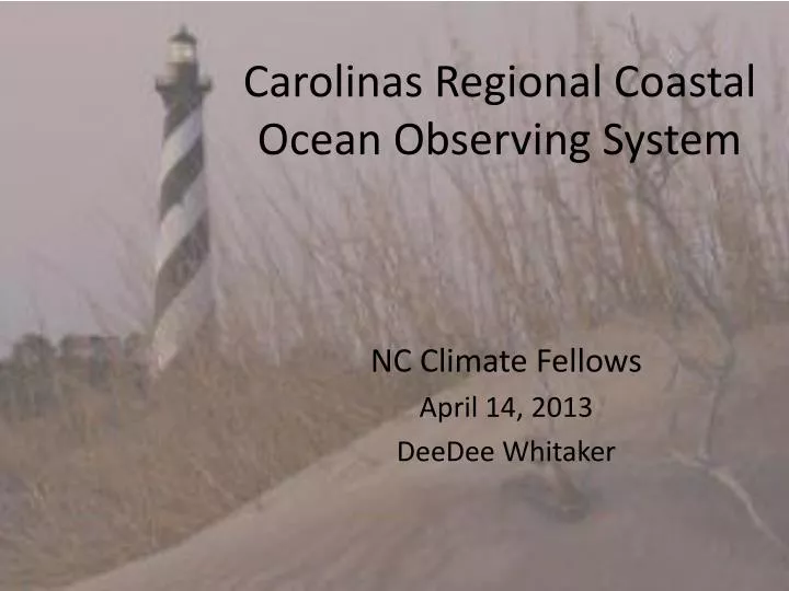
Carolinas Regional Coastal Ocean Observing System. NC Climate Fellows April 14, 2013 DeeDee Whitaker. How do researchers gather data about the oceans?. Cruises A system of buoys that monitor ocean parameters 24/7

E N D
Carolinas Regional Coastal Ocean Observing System NC Climate Fellows April 14, 2013 DeeDee Whitaker
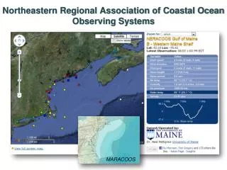
How do researchers gather data about the oceans? • Cruises • A system of buoys that monitor ocean parameters 24/7 • NOAA administrates the National Data Buoy Center for world wide data http://www.ndbc.noaa.gov/dart.shtml • A data subset for the Carolinas is CarolinasRCOOS http://carolinasrcoos.org/
CarolinaRCOOS • Integrates SECOORA and Caro-COOPS which were existing regional programs. • RCOOS is comprised of ocean buoys, shoreline buoys and land stations. • Typical variables measured in real time include: Air temperature Salinity Air pressure Chlorophyl Wind Current Water temperature Spectral Wave
Classroom Use • Data is real time and archived so useful for projects • Metadata is available for all parameters • For some stations, data goes back 20 years • Maps are interactive and linked to spatial data • Maps can be used on a global as well as local scale • Excellent source for research projects, scenario/problem-based learning lessons, and place-based learning activities
Sample Lessons • DART web quest • Carolina RCOOS web quest • PBLs and scenarios