Download
1 / 7
80 likes | 226 Views
Georgia’s Waterways. Chapter 2, Section 3. Atlantic Ocean :. 100 miles of Atlantic Coastline Begins at the Savannah River. Savannah and Brunswick are deepwater ports along the Atlantic Label your 5 Regions map for the Atlantic Ocean and the 2 deepwater ports!(pg. 604 and 605).

E N D
Georgia’s Waterways Chapter 2, Section 3
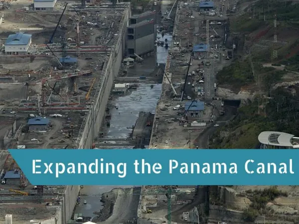
Atlantic Ocean: • 100 miles of Atlantic Coastline • Begins at the Savannah River. • Savannah and Brunswick are deepwater ports along the Atlantic • Label your 5 Regions map for the Atlantic Ocean and the 2 deepwater ports!(pg. 604 and 605) http://liveshots.blogs.foxnews.com/2011/01/28/mega-ships-may-bring-deep-water-to-savannah/ VIDEO
Coastal Waterways: • Located between the barrier islands and the mainland. • Most are saltwater marshes and are protected by the government. • Estuaries are bodies of water where fresh water meets saltwater along the coastline.
Rivers: • Georgia has 12 principle river systems. • Rivers are important to social, political and economic growth of Georgia.
The Savannah River – The Savannah is the only river that flows into Georgia from outside its borders. The headwaters are in South Carolina. The Chattahoochee River – 436 miles from the mountains of North Georgia to the Gulf of Mexico. The Flint River- one of Georgia’s most vital rivers in Piedmont and Coastal Regions. The Altamaha River- Empting into the Atlantic Ocean, this river is rich in fish and fertile swamps. Label these rivers on your 5 Regions map.
Rome’s Rivers The Etowah River and the Oostanula River form the Coosa River. The Coosa was called the “Kuska”, meaning cane by the Indians. Label these rivers on your 5 regions map.
Lakes:All lakes in Georgia are manmade:Allatoona, Carters, Lake Lanier and many others.These lakes were created as a source of water storage and/or power generation.