Download
1 / 36
360 likes | 519 Views
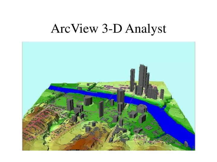
ArcView 3-D Analyst. Triangulated Irregular Network (TIN). A Mesh of Triangles. Triangle is the only polygon that is always planar in 3-D. Lines. Surfaces. Points. Tin Triangles in 3-D. (x 3 , y 3 , z 3 ). (x 1 , y 1 , z 1 ). (x 2 , y 2 , z 2 ). z. y. Projection in (x,y) plane. x.

E N D
A Mesh of Triangles Triangle is the only polygon that is always planar in 3-D Lines Surfaces Points
Tin Triangles in 3-D (x3, y3, z3) (x1, y1, z1) (x2, y2, z2) z y Projection in (x,y) plane x
Delauney Triangulation Maximize the minimum interior angle of triangles No point lies within the circumcircle of a triangle Yes No
Draw the perpendicular bisectors of each edge of the triangle Circumcircle is centered on their intersection point Radial lines from center have equal length Circumcircle of Triangle
Soft Breaklines Hard Breaklines Mass Points Inputs for Creating a TIN • Hard breaklines define locations of abrupt surface change (e.g. streams, ridges, road kerbs, building footprints, dams) • Soft breaklines are used to ensure that known z values along a linear feature are maintained in the tin.
TIN with Surface Features Classroom UT Football Stadium Waller Creek
Input Data for this Portion Mass Points Soft Breaklines Hard Breaklines
TIN Surface Model Waller Creek Street and Bridge
Watershed Modeling With TINs Slides from Dr James Nelson Brigham Young University Sponsored by National Highway Institute US Department of Transportation
Work Flow Tin-based Watershed Delineation
13.0 10.0 9.0 5.0 2.0 Flow On a Triangle
Computing Basin Data • Area • Slope • Flow Distances • Slopes • Aspect • Stream Lengths • Slopes • Others
Add Outlets • Refine Boundaries • Merge Basins • Split Basins • Delete Outlets • Recompute Data Modifying Basins
Ten Steps Using TINs 1. Background Elevation 2. Smooth Elevations 3. Conceptual Model 4. Redistribute Vertices 5. Create TIN 6. Edit TIN 7. Add Interior Outlets 8. Define Basins 9. Refine TIN 10. Compute Basin Data
1: Background Elevation • TINs • Digitized • XYZ Data • DEMs
2: Smooth Elevations • TINs or DEMs
TOPAZ • Contours • Image • Importing • GIS • DXF 3: Conceptual Model
4: Redistribute Vertices • From Coarse to Fine • From Fine to Coarse • Unequal Distribution
Conceptual Model • Triangulate • Enforce Breaklines • Interpolate Z 5: Create TIN
6: Edit TIN • Flat Triangles • Pits
Split Flow • Refine • NULL Triangles 9: Refine TIN
10: Compute Basin Data • Basins • Area • Slope • Avg. Elevation • Length • Streams • Length • Slope
Ten Steps Using TINs 1. Background Elevation 2. Smooth Elevations 3. Conceptual Model 4. Redistribute Vertices 5. Create TIN 6. Edit TIN 7. Add Interior Outlets 8. Define Basins 9. Refine TIN 10. Compute Basin Data
TIN Strengths • Automated Basin Delineation with Parameter Calculations • “Adaptive” Resolution • you can use most any elevation data source • Urban Areas • where small variations in flow can be significant • It Was in WMS First • reservoir definition, storage capacity curves, time area curves, flood-plain delineation
TIN Weaknesses • Lack of Available Data • With conceptual model approach this is not such a big factor anymore • Extra Steps • Local editing