Download
1 / 8
100 likes | 352 Views
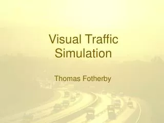
Sam Eberspacher. Air Traffic Simulation. What is it?. Simulation of air traffic over the United States Uses a sample of 51 major airports to simulate Uses latitude and longitude for more accurate travel times Airports act as any airport would, regulating the landing and take-off of airplanes

E N D
Sam Eberspacher Air Traffic Simulation
What is it? • Simulation of air traffic over the United States • Uses a sample of 51 major airports to simulate • Uses latitude and longitude for more accurate travel times • Airports act as any airport would, regulating the landing and take-off of airplanes • Goal is to chart delays and examine how they propagate thought the system
Progress • Geocoder written to obtain latitudes and longitudes from an address • Simulator displays the airports using the latitudes and longitudes • Airports have a queue for take-off and landing • Airplanes have destinations and a projected schedule • Used when delay calculations are implemented
Geocoding • Process by which an address is converted to longitude and latitude • I use Google Maps geocoder • Send an HTTP request to Google including the address, output format and Google Maps key • http://maps.google.com/maps/geo?q=address&output=csv&key=GMAP_KEY • Address formatting is important
Address Formatting • I tried several types of address formatting because I do not have street addresses • Airport code works well (BWI, AUS, PHX, etc) • Code with “airport” attached also works well • In order to maximize the number of valid airports the geocoding program tries one form, then the other in the event of a failed request
Geocoder Screenshot • Validation was needed to verify that the latitude and longitude is in the United States
Whats Next? • Implement collision detection and avoidance • Animate the traffic and implement path tracing • Implement delay calculations and map them to a color • Weight traffic in and out of airports with time to more realistically model patterns