Download
1 / 19
190 likes | 304 Views
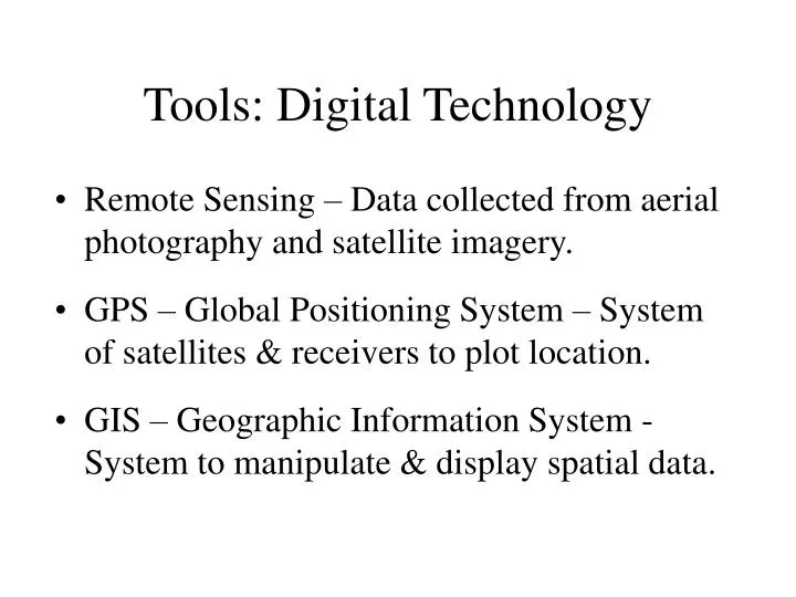
Tools: Digital Technology. Remote Sensing – Data collected from aerial photography and satellite imagery. GPS – Global Positioning System – System of satellites & receivers to plot location. GIS – Geographic Information System - System to manipulate & display spatial data. Remote Sensing.

E N D
Tools: Digital Technology • Remote Sensing – Data collected from aerial photography and satellite imagery. • GPS – Global Positioning System – System of satellites & receivers to plot location. • GIS – Geographic Information System - System to manipulate & display spatial data.
Remote Sensing • Aerial Photography
Remote Sensing • Geostationary Satellites • GOES (Weather)
Global Positioning System • 24 satellites orbit earth every 12 hours • Time of signal to receiver gives distance • Triangulation gives location
Geographic Information Systems • System for storing, analyzing and manipulating spatially referenced data • Data consists of layers of one variable such as: vegetation, landforms, or soils • Layers can be overlaid/combined for analysis or display • Applications include: resource management, planning, hazard assessment, etc.
GEOG 1112: Weather and Climate Earth-Sun Geometry Seasons
Our Place in Space • Speed of Light • 299,792 km/s (186,282 m/s) • Milky Way Galaxy – 100,000 ly across • Our Solar System – 11 ly across • Moon is 1.28 light seconds away • Gravity – mutual attracting force exerted by the mass of an object on all other objects
The Sun • About 4.6 Billion Years Old • Average Star, Nothing Special • 100 times diameter of Earth • Powers most natural processes on Earth • 8.3 min. for Sun’s energy to reach Earth • Strong Magnetic Fields/Sunspots
Solar Activity and Solar Wind • Solar wind = clouds of electrically charged particles • Sunspots are caused by magnetic storms. These cause changes in the solar output • Sunspots have activity cycles
Earth-Sun Relationship • Most Physical Processes on Earth powered by incoming radiation from Sun • Earth-Sun Relationship Complex – Depends on: • Latitude • Position of Sun in Sky • Time of Year • Earth’s Rotation/Axial Tilt
Shape of the Earth • Insolation • Variation in Sun Angle by Latitude • Oblate Spheroid • Subsolar Point
Atmospheric Beam Depletion • High solar angles see little reduction in intensity as the path from the top of the atmosphere to the surface is short. • Solar radiation is diminished relative to the amount of atmosphere the radiation passes through.
Earth’s Orbit Around the Sun • Plane of the Ecliptic • One Revolution = 365.24 Days • Elliptical Orbit • Perihelion/Aphelion • Seasons not due to distance from Sun
Dimensions and Distances • Earth’s orbit • Average distance from Earth to the Sun is 150,000,000 km (93,000,000 mi) • Perihelion – closest at January 3 • 147,255,000 km (91,500,000 mi) • Aphelion – farthest at July 4 • 152,083,000 km (94,500,000 mi) • Takes energy 8 min 20 sec to reach Earth • Plane of Earth’s orbit is the plane of the ecliptic