Download
1 / 15
150 likes | 239 Views
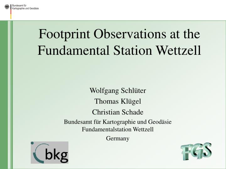
Footprint Observations at the Fundamental Station Wettzell. Wolfgang Schlüter Thomas Klügel Christian Schade Bundesamt für Kartographie und Geodäsie Fundamentalstation Wettzell Germany.

E N D
Footprint Observations at the Fundamental Station Wettzell Wolfgang Schlüter Thomas Klügel Christian Schade Bundesamt für Kartographie und GeodäsieFundamentalstation Wettzell Germany
A footprint network consists of geodetic markers in the area of the geodetic observatory, spread away several km from the observatory (dependant on geological structure of the area itself) Continuous observations with highest accuracy allow the documentation of the local, geological stability of the observatory site, which is important for the knowledge of e. g. representing station motion the plate motion. Footprint network is needed in addition to a local survey network, which allows the determination of local ties e.g. between VLBI and GPS reference points Why a Footprint Network?
Hohenwarth (HOWA) Wettzell (WTZZ) 19.0km Miltach (MILT) Arber (ARBR) Prackenbach (PRAC) GPS Footprint Network Wettzellpermanent installed GPS receivers: Ashtech Z12 7.0 km 8.2 km 7.1 km
Local Survey Network RTW Pillar 21 GPS-Array
GPS Array WTZR Turbo Rogue ACT WTZA Ashtech Z12T WTZZ Javad (GPS/GLONASS) WTZT Trimble 4000SSI WTZJ Javad (Real Time) WEB Cam Taking pictures (clouds, snow,sunshine) GPS Antenna Array
Pillar 21 • Survey Pillar with an integrated AGI 722 borehole tiltmeter, resolution <100nrad) • GPS Receiver Ashtech Z12 for continuous observations
Analysis Strategy for Daily Solutions Bernese Software, Version 5.0 RINEX - Raw Data Orbit/EOP - Information Reciever Clock Cycle Slips Preprocessing Baselines L3 Ambiguity-Float Solution RMS- Dependent Strategy Widelane/ Narrowlane Ambiguity Resolution Local Troposphere Model NEQ Files: Combination L3 Ambiguity-Fixed Solution
Residuals in Height of GPS ArrayWTZA and WTZR with reference to Pillar 21 WTZA WTZR Snow Snow Snow 10 mm 100d
Residuals in North of GPS ArrayWTZA and WTZR with reference to Pillar 21 WTZA 1mm WTZR
Residuals in East of GPS ArrayWTZA and WTZR with reference to Pillar 21 WTZA 1mm WTZR
Residuals in Height of the Footprint Pointswith respect to pillar 21 ARBR HOWA 10mm Antenna change PRAC MILT 100d
Residuals in North of the Footprint Pointswith respect to pillar 21 ARBR HOWA 100d PRAC 2mm MILT
Residuals in East of the Footprint Pointswith respect to pillar 21 ARBR HOWA MILT PRAC
Monitoring of stability below 1mm repeatability Seasonal effects can be detected No significant height changes! Seasonal effect in the North components (1mm amplitude) Significant seasonal effect in East components (up to 2mm amplitude) Influence of snow on the antenna in winter decrease the monitoring to few millimeter and creates systematic effects The area around the FSW is stable! Is the order of variations in positions transferable to the 20m RTW reference point? Conclusion