Download
1 / 9
90 likes | 182 Views
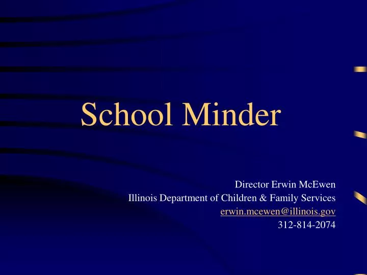
School Minder. Director Erwin McEwen Illinois Department of Children & Family Services erwin.mcewen@illinois.gov 312-814-2074. GIS: SchoolMinder. Implemented July 1, 2006 to support: Educational Continuity

E N D
School Minder Director Erwin McEwen Illinois Department of Children & Family Services erwin.mcewen@illinois.gov 312-814-2074
GIS: SchoolMinder • Implemented July 1, 2006 to support: • Educational Continuity • Identifies foster parents in the same school catchment (Chicago) or school district (rest of state), or • Identifies the nearest homes to the child’s school, or • Identifies the nearest homes to the home of the natural parent from which they were removed if school is unknown • Family ties • Homes chosen by above rules further reunification and other goals because proximity to natural parents promotes: • Supervised parental visitation • Supervised sibling visitation , etc.
Up to 75% closer placement w/in county geographies when resources are constant System experienced a 43.6% reduction in ‘available’ foster care resources over 5 years Median and average placement distances are 37% less with GIS than were non-GIS with 77.2% more resources! I can give you 77.2% more resources and still provide more access via GIS GIS Placements GIS Resource Development ‘High Need’ Areas 10% of foster care resources, 30% of intake GIS-directed placements result in ‘donut’ (Rockford) GIS-directed recruiting prevents further resource loss and new resources are better located Rockford ‘Worse case’ intake distribution improved by 28.6% in one year Decatur ‘Worse case’ intake distribution improved by 31.4% in one year Summary: GIS Placement Distances and Resource Development
Average Distance Distance in Miles; Count of Homes at End of Fiscal Year 2,262 1,736 3,076 1,736 1,827 2,262 1,738 STATEWIDE Implement SchoolMinder After Hours are Non-GIS Placements
Median Distance Distance in Miles, Count of Homes at End of Fiscal Year 2,262 3,076 1,736 1,827 1,736 2,262 1,738 STATEWIDE Implement SchoolMinder After Hours are Non-GIS Placements
GIS – Meeting the Challenge • High Need Homes more likely used • 2008 – GIS based recruiting began • % of homes serving High Need areas stabilizes • % of new homes serving High Need areas jumps by 42.8% to 49.6% • Close to stabilizing resource loss, even without major new campaigns
GIS – Meeting The Challenge • ‘High Need’ areas – 30% the intake, 10% the resources • More traditional intake in 2010 than available beds at beginning of year, successfully replacing resources through focused recruiting
GIS and Resources in High Need Areas (Creating and Filling the ‘Donut’) Year 1, Resource Rich Year 2, Resources Used Up in Areas of High Intake Year 5, Inroads Made on The ‘Donut’ Year 3, Donut Expands, Problem Identified Homes are blue pentagons, red dots are intake For calendar year 2010. Pink is ‘High Need’ area.
SchoolMinder vs. Traditional Placement Processes *Statistically significant p<.001