Download
1 / 42
430 likes | 611 Views
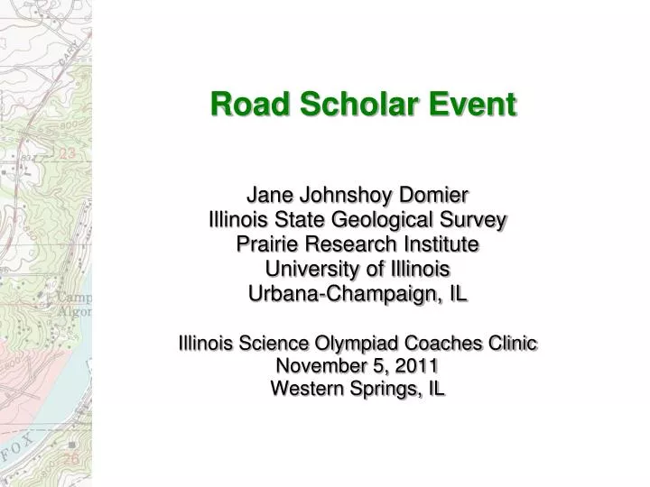
Road Scholar Event. Jane Johnshoy Domier Illinois State Geological Survey Prairie Research Institute University of Illinois Urbana-Champaign, IL Illinois Science Olympiad Coaches Clinic November 5, 2011 Western Springs, IL. Road Scholar.

E N D
Road Scholar Event Jane Johnshoy Domier Illinois State Geological Survey Prairie Research Institute University of Illinois Urbana-Champaign, IL Illinois Science Olympiad Coaches Clinic November 5, 2011 Western Springs, IL
Road Scholar • The Road Scholar exam tests the students’ ability to read highway maps, internet-generated maps, or a road atlas, and to read and interpret USGS topographic maps • Storyline format • Team of 1 or 2 people • 50 minutes
Tools and Rules • Provided at test: highway map, topographic quadrangle maps, USGS Map Symbol Sheet, test, and answer sheets • Students bring: protractor, ruler, symbol sheet, pencils • Optional: calculator, notes, reference materials, measuring devices • Computers are not permitted • May not write on maps or symbol sheet • Discussion with teammate encouraged
Exam Format Welcome to the State Competition of the Road Scholar in Champaign, Illinois. You and your partner are being sent on a field trip to collect data for hydrology or water analysis in southern Illinois. You will be visiting areas near Charleston, Illinois, and Rend Lake State Wildlife Refuge. You are prepared for the trip, with a state highway map [HM] and two topographic maps, Charleston South [CS] and Rend Lake Dam [RLD]. You are currently located in Urbana, Illinois. Consulting your Illinois highway map, you find that the index coordinates for Urbana are _____ [1-HM]. The precise population of Urbana at the date of this map is ____ [2-HM]. Urbana is located in ____county [3-HM], and the symbol used for Urbana tells you that it is the _____ [4-HM] of this county.
This square represents section 24, Public Land Survey System. Draw a school house in the NE ¼ SW ¼ 24. Draw a large cemetery in the SE ¼ NE ¼ 24.
Scoring • 1 point for each question • Teams are ranked according to total points • Several more difficult questions indicated as tie-breakers
Regional / State Competitions • Same format • Some questions more involved at State level • Stream gradient (feet per 1000 feet) • Slope (feet per 100 feet) • Profiles • Universal Transversal Mercator (UTM)
Highway Maps • General reference • Planimetric – shows horizontal position of physical and human features
Topographic Maps • Show elevation and landforms • Natural and human features • Larger scale than highway map; smaller area with more detail • Also called ‘topo’ maps, or quadrangle maps
Magnetic declination Magnetic declination: Angular difference between magnetic north and geographic north (N. Pole) - varies with position and time
Distance between features Edge of paper or string to measure distance Subdivisions on left end for finer measurements
Geographic Coordinate System Latitude and Longitude Parallel to each other 1° latitude ~70 miles Meridians converge at poles 1° longitude = 0 to ~70 miles Lyons Township High School: Lat. 41° 48’ 2.8” N Long. 87° 53’ 21.3” W 0° Greenwich, England 180° International Date Line
7.5’ series 1:24,000 Illinois quadrangles: 8.5 miles N-S 6.5 to 7 miles E-W 30” divisions Latitude/longitude, mental sectors
Universal Transverse Mercator (UTM) grid (blue tics, 1000 meter intervals)
State Plane Coordinate System (black tics, 10,000 foot intervals)
Public Land Survey System SW¼ SW¼ Sec. 14, T2S,R3W
This square represents section 24, Public Land Survey System. Write the section number on your map. Draw a race track in the NE¼ SW¼ 24. Draw a large cemetery in the SE¼ NE¼ 24.
Black: cultural features - roads, buildings, political boundaries, RR, place names Blue: hydrographic features - lakes, rivers, isobaths Brown: topography, land surfaces (sand dunes, other rough surfaces), contour lines, elevation numbers Green: vegetation, scrub, orchards, vineyards Red: important roads and public land survey system pink - urban areas – (now gray) Purple: features added from aerial photo revision (not field checked) Colors on topographic maps
Index Intermediate Supplementary Depression Contours – lines of same elevation
Stream gradient Length of river is 6000 feet. 60 feet rise in elevation Stream gradient = 10 feet/1000 feet 6000’ / 1000’ = 6 60’ / 6 = 10’
Jane Johnshoy Domier Illinois State Geological Survey Prairie Research Institute University of Illinois Urbana-Champaign, IL 217.244.2513 jdomier@illinois.edu http://www.isgs.illinois.edu/about-isgs/staff-dir/staff-outreach/domier/road-scholar.shtml