Download
1 / 11
110 likes | 276 Views
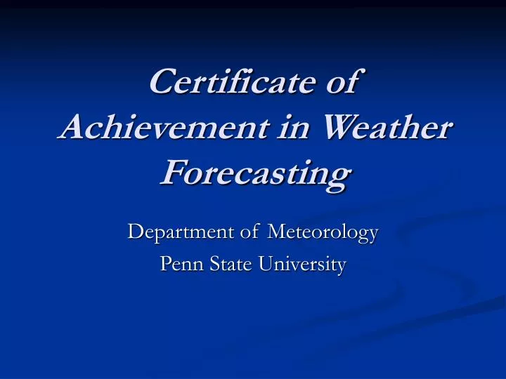
Certificate of Achievement in Weather Forecasting. Department of Meteorology Penn State University. Four Online Courses. Meteo 101: Understanding Weather Forecasting Meteo 241: Tropical Weather Forecasting Meteo 361: Mesoscale Weather Forecasting

E N D
Certificate of Achievement in Weather Forecasting Department of Meteorology Penn State University
Four Online Courses • Meteo 101: Understanding Weather Forecasting • Meteo 241: Tropical Weather Forecasting • Meteo 361: Mesoscale Weather Forecasting • Meteo 410: Advanced Topics in Weather Forecasting
… This sense of community was reinforced as each graduate received their certificate and expressed their sincere gratitude to their peers and teachers for their support, encouragement and dedication to the program. It was this event, more than anything I have done recently, that reminded me why I have chosen a career in adult education. Ken Udas, Director of Penn State World Campus
WxChallenge Cumulative StandingsFall Semester, 2006 Meteo 410 ForecasterNational Rank PSU Rank (1258 Forecasters) (86) Olympic Skier 27 2Business Consultant 37 4Legal Administrator 58 6Weather Solutions Expert 80 8Farmer 97 11Communications Major 100 12 NWS Intern 325 20Nurse 348 23
Vehicles for Online Learning • Dynamic, interactive course materials • Conceptual rigor encourages critical thinking • Sprinkling of mathematics (“buffet approach”) • E-Portfolios • Discussion forums
Discussion Forums Anticyclonic Tornado in a Cyclonic Supercell (Debra, Meteo 361 Student) - 4/25/2006 04:55 PM The tornado that touched down yesterday in El Reno, Oklahoma, just to the west of OKC, was anticyclonic, yet it was not in a left-moving cell - the cell was cyclonic. Dr. Greg Forbes on TWC explained that the tornado formed on the eastern side of the inflow, rather than the western side, which caused the rotation to turn the opposite way than it normally would. Would you please elaborate?
Professional Mentors • The utility of our discussion forums gives us a better opportunity to bridge the gap between the Department of Meteorology and professional mentors. In Meteo 361, we have … • Steve Corfidi, Lead Forecaster at SPC • Jon Racy, Mesoscale/Outlook Forecaster at SPC
Steve Corfidi’s Response re: Anticyclonic Tornado in a Cyclonic Supercell STEPHEN CORFIDI - 4/26/2006 10:15 AM Debra, Mark and Phil, The flanking line is a known area for anticyclonic, non-mesoscyclonic tornadoes. Such circulations appear to result when anticyclonic vertical vorticity on the southern edge of the mesoscylone's rear flank downdraft is stretched by a fortuitously-positioned updraft (cumulus tower) on the flanking line. See the diagram from Klemp and Rotunno 1983.
NHC’s Stacy Stewart favorably reviewed a student’s E-Portfolio on Katrina and invited him to the National Hurricane Center
How to Enroll Check out the World Campus Web site: http://www.worldcampus.psu.edu/WeatherForecastingCertificate.shtml