Download
1 / 7
70 likes | 91 Views
Learn how to define your study site, conduct measurements, and ensure quality control in hydrology. Understand the importance of mapping your site for accurate scientific research data interpretation. Follow step-by-step instructions to create a detailed map of your study site.

E N D
Site Selection • in order of preference • Stream or river • Lake, reservoir, bay, or the ocean • Pond • Irrigation ditch or other (if none of the above is available)
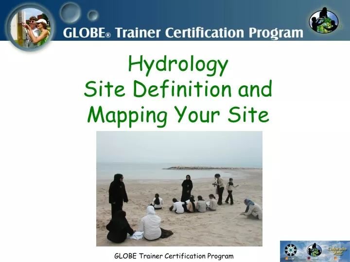
Preparing For Your Measurements • Once your site has been selected, "Define Your Site" using the Documenting Your Hydrology Study Site Field Guide and Mapping Your Hydrology Study Site Field Guide. • If possible, conduct your Hydrology measurements weekly. • All measurements should be made at roughly the same time of day.
Quality Assurance and Quality Control • Collect the water sample as directed. • Perform most tests immediately after collecting the water sample (see protocols). • Carefully calibrate, use, and maintain all testing equipment. • Follow the specific directions of all protocols EXACTLY as described. • Repeat measurements to check their accuracy and understand potential sources of error. • Minimize contamination of stock chemicals and testing equipment.
Why map your site? • Without a study site definition, it is difficult for you or scientists using your data to interpret your data for scientific research. • To describe your study site, follow the instructions in the Documenting Your Hydrology Study Site.
Include on map… • Name of site • Name of water body, for example, Platt River • Direction of North (use arrow) • Scale (indicates distance, e.g., 1 cm = 3 meters) • Date • Key to all symbols used in map
While making your map… • Look around, what things might be influencing the characteristics of the water? • What would you like to know about the water? • Think of one or more research questions about the water at this site.