Download
1 / 26
260 likes | 376 Views
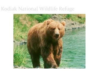
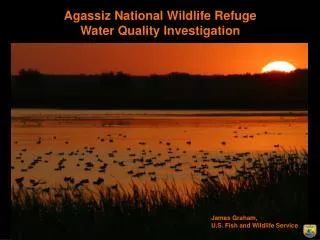
John H. Chafee National Wildlife Refuge. Narrow River Coastal Resiliency Project. Agenda. Team Objectives Process and timelines Resiliency funding, planning, and execution Interagency cooperation in planning Management Framework and working parameters CRMC, ACOE, FWS

E N D
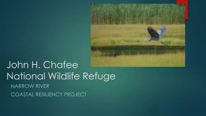
John H. ChafeeNational Wildlife Refuge Narrow River Coastal Resiliency Project
Agenda • Team Objectives Process and timelines • Resiliency funding, planning, and execution • Interagency cooperation in planning • Management Framework and working parameters • CRMC, ACOE, FWS • Background/baseline information/available information • Team organization, next steps
Hurricane Sandy Resiliency Funding • $100 million awarded to federal agencies • To promote natural resource enhancement / resiliency against storms • Projects selected on a competitive basis • Fish and Wildlife Service in Rhode Island received $6 million • Coastal Program (SNEP) $2 million • Aquatic habitat connectivity • Rhode Island National Wildlife Refuge Complex $4 million • Saltmarsh habitat enhancement and resiliency • Sachuest Point NWR • John H. Chafee NWR
Program Funding • Funds to be obligated within three years of receipt (2017) • High level of scrutiny and bean counting • Anticipate obligating most funds under cooperative agreement with The Nature Conservancy • No matching fund requirements
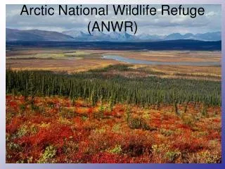
Project Area Boundary and Teams • Goal is to promote and enhance national wildlife refuge natural resources • The health and productivity of Refuge habitats is dependent on: • Water quality and watershed conditions in the Narrow River • Dependent on the health and productivity of saltmarsh habitats adjacent to the Refuge and in the estuary as a whole.
Project Area Boundary • Project will focus on saltmarsh conditions throughout the estuary, and • Watershed conditions in the Lower Narrow River (primarily Pettaquamscutt Cove). • Watershed/Water Quality Team • RIDEM, NRPA, Towns of Narragansett and South Kingstown
Team Objectives • Identify recommended actions to enhance saltmarsh/estuarine conditions on an ecological basis • Regardless of Ownership • Identify those actions specific to each saltmarsh management unit or area. • Use by FWS / ACOE / Others for subsequent planning and execution • Final actions may be modified based on public involvement, public use needs, agency requirements, Environmental Assessments, cultural resource protection, etc..
Estuarine and MarineHabitats Ongoing planning efforts: Potential for using dredging and beneficial use of dredge materials
Agency Planning Direction - FWS FWS Complete an Environmental Assessment (use ACOE Docs?) • Refuge Purposes Waterfowl, migratory birds, endangered species, wildlife dependent recreation • Cultural resource protection • Endangered Species Act Compliance Piping plover • Biodiversity Regulations (intelligent tinkering) Saltmarsh sparrow conservation State listed endemic plants / species of concern • Impacts on resources and landowners – changes in tidal levels • Federal permits (ACOE / CRMC, etc. )
Agency Planning Direction • U.S. Army Corp. of Engineers • RI Coastal Resource Management Council
Available Information • Mapcoast / Soils • Marine fisheries • ACOE feasibility Study • Habitat Component mapping and surface profiles
Habitat Components • Saltmarsh (Spartina dominated communities) • Pools and Pans • Tidal (brackish) marsh • Estuarine shrub wetland
Habitat Components Marsh migration areas Areas within the LIDAR 2 foot and 4 foot elevation contour At this point, surrogate for SLAMM Kevin Ruddock (TNC) running SLAMM analysis For drainage – available soon
Well drained saltmarsh Based on aerial imagery Areas within 50 feet of functional drainage or shoreline Estimate change if ditches were maintained
Saltmarsh Surface Profiles • Refuge reach and Pet Cove • Tied to elevation marker (1.54 ft NGVD) • Rough approximation of conditions
Vegetation by Elevation Better information available
Saltmarsh ShorelineStabilityBased on 2012 FWS SurveyPre-construction monitoring