Download
1 / 2
30 likes | 115 Views
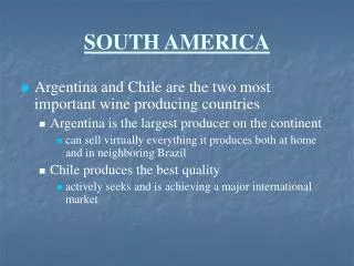
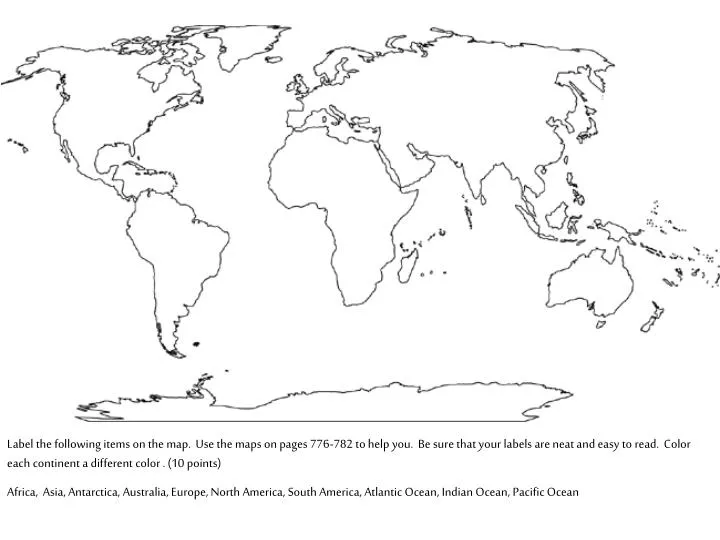
Label the following items on the map. Use the maps on pages 776-782 to help you. Be sure that your labels are neat and easy to read. Color each continent a different color . (10 points)

E N D
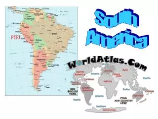
Label the following items on the map. Use the maps on pages 776-782 to help you. Be sure that your labels are neat and easy to read. Color each continent a different color . (10 points) Africa, Asia, Antarctica, Australia, Europe, North America, South America, Atlantic Ocean, Indian Ocean, Pacific Ocean
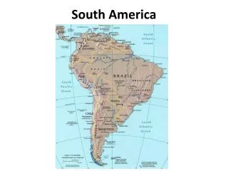
Europe Asia North America Pacific Ocean Atlantic Ocean Africa Pacific Ocean South America Indian Ocean Australia Antarctica On this map, all the continents and oceans are labeled but they do not appear on the map. Your task is to draw the continents on this map. Your drawing does not have to be perfect but it should be pretty close. Include all the major islands You may use the maps in your book as well as the other map worksheets we have done to help you in this assignment. (10 points)