Download
1 / 18
180 likes | 279 Views
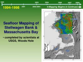
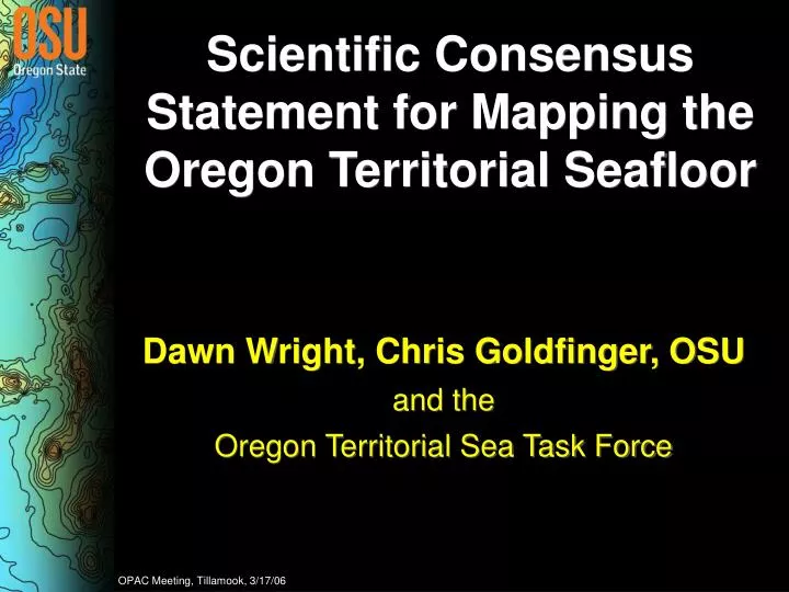
Scientific Consensus Statement for Mapping the Oregon Territorial Seafloor. Dawn Wright, Chris Goldfinger, OSU and the Oregon Territorial Sea Task Force. OPAC Meeting, Tillamook, 3/17/06. What the Statement IS …. What the Statement is NOT. Territorial Sea, not the EEZ.

E N D
Scientific Consensus Statement for Mapping the Oregon Territorial Seafloor Dawn Wright, Chris Goldfinger, OSU and the Oregon Territorial Sea Task Force OPAC Meeting, Tillamook, 3/17/06
Territorial Sea, not the EEZ NOAA Coastal Services Center
Isn’t it already mapped? Could you find your way to every town on this map? Goldfinger et al., OSU Active Tectonics Lab
Ocean Thematic Layers Graphic courtesy of Christina Massel, Steve Miller, Scripps
Details, Details… 100 m 10 m California Dept. of Fish & Game, Moss Landing Marine Labs
An Example of Required Detail: Siletz Oregon Department of Fish & Wildlife, Marine Resources Program
An Example of Required Detail: Seal Rock Oregon Department of Fish & Wildlife, Marine Resources Program
Seafloor Mapping: How and What? Multibeam Single Beam Images courtesy of NOAA and UNH
Topo/Bathy is the Fundamental Base “Layer” USGS Cascades Volcano Observatory
Study Area Image courtesy of Dan Fornari, Woods Hole Oceanographic Institution