Download
1 / 21
210 likes | 227 Views
Progress report on GPS and Galileo systems, international cooperation, modernization, and performance enhancements for global navigation reliability. Overview of current and future satellite constellations, civil and military services, and accuracy improvements.

E N D
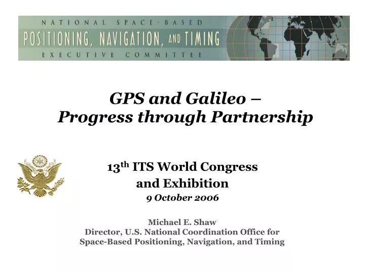
GPS and Galileo – Progress through Partnership 13th ITS World Congress and Exhibition 9 October 2006 Michael E. Shaw Director, U.S. National Coordination Office for Space-Based Positioning, Navigation, and Timing
Overview • GPS System and Performance • GPS Modernization • International Cooperation
Global Positioning System • Baseline 24 satellite constellation in medium Earth orbit • Global coverage, 24 hours a day, all weather conditions • Satellites broadcast precise time and orbit information on L-band radio frequencies • 3 dimensional position worldwide • Two types of services • Civil (free of direct user fees) • Military (U.S. and Allied military) • Three system elements • Space • Ground control • User equipment
Current Constellation 29 Operational Satellites (Baseline Constellation: 24) • 28 Block II/IIA/IIR satellites operational • 1 Block IIR-M satellite operational • Transmitting new second civil signal (L2C) • Continuously assessing constellation health to determine launch need • New IIR-M satellite launched – September 2006 • 6 remaining Block IIR-M satellites • Next launch: November 2006 • Global U.S. GPS civil service performance commitment met continuously since Dec 1993
Accuracy Current Requirement Current Objective Continuous Performance Improvement Key Measures of Effectiveness to evaluate GPS services • Accuracy • Bounded inaccuracy • Assured Availability • Integrity • Resistance to RF Interference/Jamming
Nationwide Differential GPS Wide Area Augmentation System Continuously Operating Reference Stations Local Area Augmentation System U.S. Augmentations
Differential GPS Networks Space-Based Augmentation Systems Global Differential GPS System International GNSS Service International Augmentations
Overview • GPS System and Performance • GPS Modernization • International Cooperation
GPS Modernization Increasing System Capabilities w Increasing Defense / Civil Benefit Block IIA/IIR Block IIR-M, IIF Block III • Basic GPS • Standard Service • Single frequency (L1) • Coarse acquisition (C/A) code navigation • Precise Service • Y-Code (L1Y & L2Y) • Y-Code navigation • IIR-M: IIA/IIR capabilities plus • 2nd civil signal (L2C) • M-Code (L1M & L2M) • IIF: IIR-M capability plus • 3rd civil signal (L5) • Anti-jam flex power • Backward compatibility • 4th civil signal (L1C) • Increased accuracy • Increased anti-jam power • Assured availability • Increased security • System survivability
Modernized GPS – Civil Signals • Second civil signal (“L2C”) • Designed to meet commercial needs • Higher accuracy through ionospheric correction • Higher effective power and improved data structure reduce interference • Began with GPS Block IIR-M in Sep 2005; 24 satellites projected in: ~2014 • Third civil signal (“L5”) • Designed to meet demanding requirements for transportation safety-of-life • Uses protected Aeronautical Radio Navigation Service (ARNS) frequency • Higher Power • Begins with GPS Block IIF • First launch: ~2008; 24 satellites projected in : ~2016 • Fourth civil signal (“L1C”) • Designed with international partners to enable GNSS interoperability • Begins with GPS Block III • First launch: ~2013; 24 satellites projected in : ~2021
Europe: Galileo, EGNOS Russia: GLONASS Japan: MSAS, QZSS India: GAGAN, IRNS Australia: GRAS China: Beidou, Compass Canada: CWAAS Mexico: WAAS Multilateral: International GNSS Service Most major nations: Differential GPS*, geodetic reference networks Galileo partners: Canada, Mexico, India, Ukraine, Israel, China, Morocco, South Korea; discussions ongoing with Brazil, others International Growth in Global Navigation Satellite Systems (GNSS) *50 nations operate beacon-type DGPS services like the U.S. Nationwide DGPS services
Overview • GPS System and Performance • GPS Modernization • International Cooperation
U.S. International Cooperation • U.S. Government has pursued formal cooperative arrangements with Europe, Japan, and Russia since 1996 • To ensure compatibility (non-interference) and interoperability with foreign systems • To maintain and promote a level playing field in the global market • Additional efforts ongoing with Australia, India, Brazil, and others • Multilateral cooperation established through U.N. International Committee on GNSS • As well as ICAO, IMO, and NATO
GPS-Galileo Agreement • In 2004, United States and European Community signed agreement on GPS-Galileo cooperation • Recognizing importance of compatibility and interoperability for all parties • Agreed to spectrally separate signals for military, civilian, and public regulated services • Agreed to implement a common, open, civil signal on both Galileo and GPS III, free of direct user fees • Working groups establishedto continue cooperation: • Compatibility and Interoperability • Trade and Commercial Applications • Next-Generation GNSS • Security Issues June 26, 2004, press conference at U.S.-EU Summit in Ireland (U.S. Sec. of State Colin Powell, Irish Foreign Minister Brian Cowen, EU Vice-President Loyola De Palacio)
Provide civil GPS and augmentations free of direct user fees on a continuous, worldwide basis Provide open, free access to information needed to develop equipment Improve performance of civil GPS and augmentations to meet or exceed that of international systems Encourage international development of PNT systems based on GPS Seek to ensure international systems are interoperable with civil GPS and augmentations Or at a minimum, are compatible Address mutual security concerns with international providers to prevent hostile use U.S. International Cooperation Outlined in 2004 U.S. National Policy on Space-Based Positioning, Navigation, and Timing (PNT)
Multilateral group chartered through United Nations First meeting: December 2005 Next meeting: November 2006 Purpose: Promote use of GNSS to improve efficiency and security of transport, search and rescue, geodesy, etc., particularly in developing countries Coordination among GNSS providers to ensure both compatibility and interoperability Assistance to developing countries in use of PNT services Focal point for international information exchange Forum for addressing future user needs International Committee on GNSS
Vehicle Infrastructure Integration (VII) Program • Improving safety and reducing congestion will require more efficient management of the roadway system • Cooperative program with DOT-FHWA-NHTSA, auto industry, states and other key stakeholders • Preliminary architecture defined to • include GPS/GNSS • 110 public and private use cases • have been developed • Standards nearing completion • Prototype development underway • Implementation beyond 2010 FHWA NHTSA
VII Range of Applications Work ZoneManagement Traveler Information Weather Sensing Intersection Collision Avoidance
Summary • U.S. policy promotes worldwide use of civil GPS and augmentations, and its interoperability/compatibility with other GNSS systems, specifically Galileo • GPS is getting better and will continue to improve • Augmentations enable high performance today • New GPS signal now available • International cooperation - a priority for all nations • Interoperability/compatibility are critical • Ever improving performance for applications worldwide GPS and Galileo: Progress through Partnership
Web-based Information • PNT.gov established to disseminate information on the U.S. National Executive Committee • Contains recent public presentations as well asinformation on Membership, Policy, the Advisory Board, and “frequently asked questions” • GPS.gov established to disseminate information on GPS applications • Brochure on GPS applications available for download • Copies available upon request • Contains additional links to various other websites
Contact Information Michael E. Shaw Director U.S. National Coordination Office for Space-Based PNT 14th and Constitution Ave, N.W. Washington, D.C. 20230 Ph: (202) 482-5809 Fax: (202) 482-4429 Michael.Shaw@pnt.gov Presentation and other GPS information available: PNT.gov