Download
1 / 11

E N D
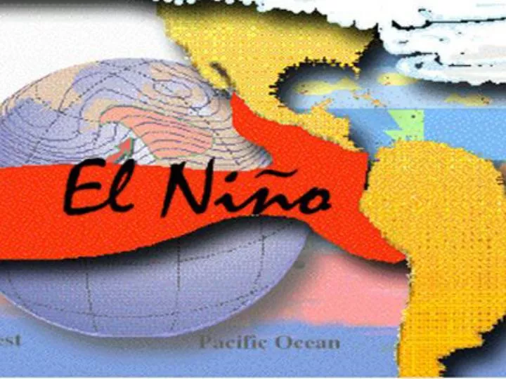
El Niño is a large scale oceanographic / meteorological phenomenon that develops in the Pacific Ocean, which is associated with extreme climatic variability. It is the migration, from time to time, of warm surface waters from the western equatorial Pacific Basin to the eastern equatorial Pacific region, along the coasts of Peru and Ecuador.
The warm current (El Niño) temporarily displaces nutrient-rich up welling cold water resulting in the heavy harvest of anchovies. The abundant catch, however, is short-lived. What follows is a sharp decline in the fish population, resulting in a lesser catch. At times, warming is exceptionally strong and ruins the anchovy harvest.
During an El Niño, the physical relationships between wind, ocean currents, temperature, and biosphere break down into destructive patterns.
El Niño: A temperature anomaly The trade winds tend to lose strength with the onset of springtime in the northern hemisphere. Less water is pushed westward and, consequently, waters in the central and eastern Pacific begin to heat up (usually several degrees Fahrenheit) and the thermo cline tilt diminishes. But the trade winds are usually replenished by the Asian summer monsoon, and the delicate balance of the thermo cline tilt is again maintained.
Moreover, the natural spring warming in the central Pacific is allowed to continue and also spread eastward through the summer and fall. Beneath the surface, the thermo cline along the equator flattens as the warm waters at the surface effectively act as a 300-foot-deep cap preventing the colder, deeper waters from upwelling. On average, these waters warm by 3° to 5°F, but in some places the waters can peak at more than 10°F higher than normal (up from temperatures in the low 70s Fahrenheit, to the high 80s).
This animation shows the relationship between the direction and intensity of the Pacific trade winds, and the formation of El Niño. The arrows show surface wind dynamics, while the colors represent sea surface temperature. Notice how the warmer water expands, while cooler water contracts.
This series of images shows how the thermo cline tilt changes during the onset of an El Niño. Notice how in January 1997 (left) there is a steep temperature gradient between the western and eastern Pacific Ocean. In April 1997 (center), much of the deep pool of warm water in the west has migrated eastward, lessening the temperature gradient. By July 1997 (right), there is a full-blown El Niño and the thermocline is flat.
Sir Gilbert Walker Sir Gilbert Walker empirically identified that some notable climate anomalies—changes in atmospheric pressure and circulation—happen around the world every few years
Professor Jacob Bjerknes Jacob Bjerknes proposed that El Niño was just the oceanic expression of a large-scale interaction between the ocean and the atmosphere, and that the climate anomalies could be understood as atmospheric "teleconnections" spreading from the warm-water regions along the equator in the mid-Pacific.