Download
1 / 21
210 likes | 463 Views
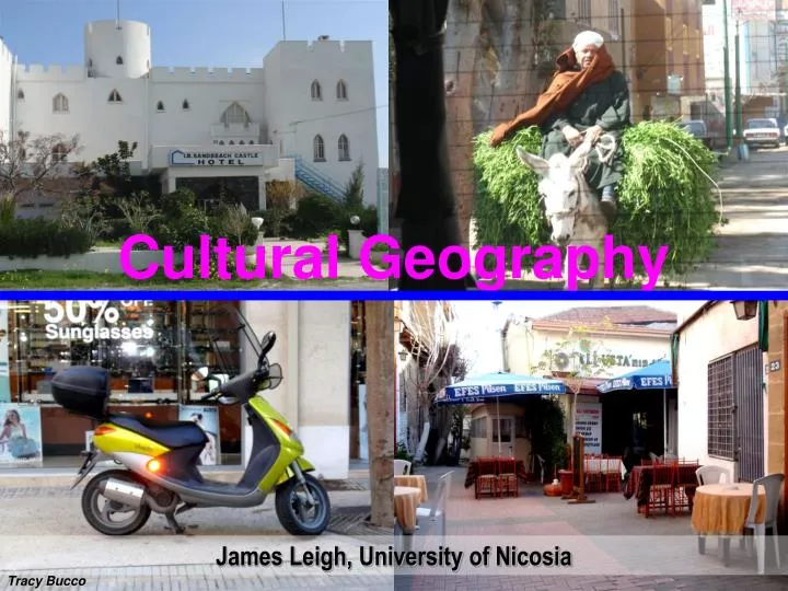
Cultural Geography. James Leigh, University of Nicosia. Tracy Bucco. Geography Fundamentals. Fundamentals. Hemispheres, continents, oceans Gravity, Tides, Seasons Latitude measure N & S: parallel Longitude measures E & W: touch at poles Main “lines”: GM IDL Equator

E N D
Cultural Geography James Leigh, University of Nicosia Tracy Bucco
Fundamentals • Hemispheres, continents, oceans • Gravity, Tides, Seasons • Latitude measure N & S: parallel • Longitude measures E & W: touch at poles • Main “lines”: • GM • IDL • Equator • Tropics of Cancer and Capricorn • Polar Circles • Time Zones, time change National Geographic Globe,www.murrayhudson.com
Continents Seven continents, http://www.freerepublic.com/focus/f-news/1918914/posts • Seven continents: • Europe • Asia • Africa • North America • South America • Australasia • Antarctica • Subcontinents: • Central America • Middle East • Central Asia
World Oceans by Size • 1. Pacific, 155,557,000 sq km • 2. Atlantic, 76,762,000 sq km • 3. Indian, 68,556,000 sq km • 4. Southern, 20,327,000 sq km • 5. Arctic, 14,056,000 sq km World Oceans, http://www.worldatlas.com/aatlas/infopage/oceans.htm
Earth’s Seasons Earth’s seasons, http://ncisla.wceruw.org/muse/earth-moon-sun/materials/build/material2F/index.html
Tides • Depend on the gravity from celestial bodies • Mainly sun and moon • As the earth spins, the gravity of these bodies pulls the water outward to cause high tides Tides, http://science.howstuffworks.com/tide-table1.htm
Maps, http://fr.mapsofworld.com/world-maps/world-map-with-latitude-and-longitude.html Longitude& Latitude Longitude & latitude, http://members.shaw.ca/tannasl/image_links.htm
Mercator projection, http://www.culturaldetective.com/worldmaps.html Equal area maps show “correct relative size of landforms.” Equal area map, http://www.es.mq.edu.au/courses/GEOS264/maps/mapch2/projec.htm Equal area map, http://www.claymoreclan-design.com/html/promotional_maps.html
24-Hour Time Clock • Conventional clock: 12 hours a.m. and p.m. • World clock: 24 hours • Begins at midnight 00:00 hours until 23:00 hours (11 p.m.) 24 hours clock, http://amarketingprograms.com/The-24-Hour-Hot-Product-Formula-Review-Comments-and-Complaints.html
History and System • In 1884 major nations created a series of standardized time zones. • Now world is divided into 24 time zones. • Based on GMT or UTC (Universal Time Coordinated) • Expressed from GMT e.g.: • GMT +1 …… • GMT -1 …… • Up to GMT +/-12 • Adjusted in areas not to interfere with national and regional boundaries • Adjusted in some areas for DST (Daylight Saving Time) for periods every year.
International Date Line Taveuni on IDL • IDL is 180o E and W • Crossing the IDL complicates time calculations (Brick wall). • W E - lose a day,go to yesterday • W E - gain a day,go to tomorrow • Redrawn around regions Taveuni, http://www.taveunidive.com/images/map_pacific.gif
World time zones Time zones, http://www.radio6767.com/forums/topic.asp?TOPIC_ID=5320
Taveuni dateline, http://confluence.org/special/dateline/pic2.jpg
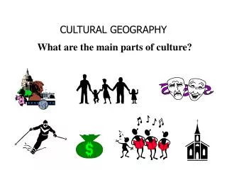
Exploring Earth’s Countries • ~200 countries • Constantly changing depending on political and social forces
23 Top Nation’spopulations • China 1.3 bn • India 1.1 • United States 300 m • Indonesia 242 • Brazil 186 • Pakistan 162 • Bangladesh 144 • Russia 143 • Nigeria 129 • Japan 127 • Mexico 106 • Philippines 88 • Vietnam 84 • Germany 82 • Egypt 78 • Ethiopia 73 • Turkey 70 • Iran 68 • Thailand 64 • D R of Congo 61 • France 61 • United Kingdom 60 • Italy 58
Attraction of Cities (Tracy Bucco) • Civilization congregates in cities • Cities offer advantages: • Trade • Services and amenities • Variety of jobs • Opportunity for social/cultural interaction • Cities attract those seeking urban lifestyle, variety, services, employment and culture • Cities and urban areas are generally found on lowland flat areas (except Nairobi, San Francisco etc)