Download
1 / 24
240 likes | 282 Views
Discover the diverse physical features of Europe, from the majestic Alps to the volcanic landscapes of Iceland. Learn about important rivers and stunning fjords, and explore the continent's unique geography in this informative guide.

E N D
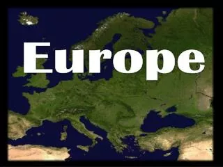
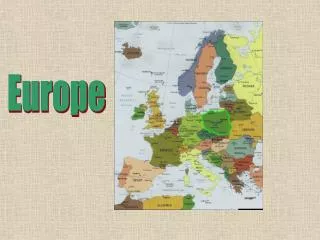
EUROPE PHYSICAL GEOGRAPHY
Physical Characteristics • The continent of Europe is a giant peninsula. • Some refer to it as Eurasia. • It is known as “a peninsula of peninsulas.”
The Northern Peninsulas • Scandinavian Peninsula – Norway & Sweden
Fjords – sea filled valleys carved out by glaciers. Picture: Geirangerfjord in Norway
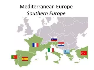
The Southern Peninsulas • Iberian Peninsula – Spain and Portugal Apennine Peninsula – Italy, lots of coastline! • Balkan Peninsula – Albania, Bulgaria, Greece, Romania, very mountainous
Apennine Peninsula The Apennine Mountains
The Atlantic Islands • Iceland – “Land of Fire and Ice” (Volcanoes and glaciers exist side by side on the island) • British Isles – England, Scotland, Wales, Northern Ireland, & Ireland
Iceland - was formed from volcanic activity. Lava fields cover much of the land Surtsey 16 days after the first eruption.
Mediterranean Islands • Balearic Islands (Spain) • Corsica (France) • Sardinia (Italy) • Sicily (Italy)
Mountains • Alps – arc across France, Italy, Germany, Switzerland, Austria, & the northern Balkan Peninsula, cut off Italy from the rest of Europe • Pyrenees Mountains - block off Spain & Portugal from the rest of Europe
Mountains (cont.) • Apennine Mountains – run like a spine down Italy • Balkan Mountains – block off the peninsula from the rest of Europe
Rivers • Rivers are important transportation routes to carry goods between the coastal harbors and the inland region • Danube River – 1,771 miles long, links Europeans to the Black Sea, touches 9 countries • Rhine River – flows 820 miles from the interior of Europe north to the North Sea
Video • National Geographic (3 minutes) • Discovery Channel Physical Geography (20 Min) • Europe Land and Resources (20 Min) • Ten Most Beautiful Countries (20 Min)