Download
1 / 13
130 likes | 257 Views
San Mateo Rail Corridor Transit Oriented Development Plan. ABAG/MTC/ULI Workshop September 29, 2006. Significant potential for redevelopment along the rail corridor. ABAG Projections indicated significant growth in population and jobs. City received study grants in 1998

E N D
San Mateo Rail CorridorTransit Oriented Development Plan ABAG/MTC/ULI Workshop September 29, 2006
Significant potential for redevelopment along the rail corridor. ABAG Projections indicated significant growth in population and jobs. City received studygrants in 1998 MTC was offering grants for development with transitorientation Background of Corridor Plan
Corridor Plan Process • A Phase 1 “Concept Plan” completed in September 2000. • Phase 2 initiated in February of 2001. • Citizen Advisory Committee (CAC) appointed by the City Council and met over the course of 3 years. • Draft Rail Corridor Plan recommended for public review in February 2004.
Vision For The Rail Corridor Plan • Minimize traffic and other potential impacts of future development. • Promote the efficient and compact use of land within walking distance of transit stations. • Increase transit ridership. • Establish design guidelines for the corridor area.
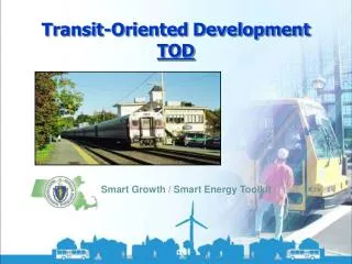
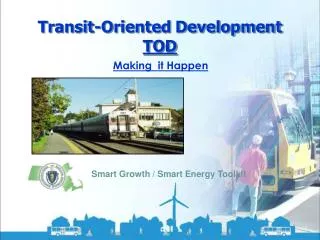
Intent of TOD • Development and design that is transit supportive • Make TOD an attractive and desirable alternative: • Promote higher density development in close proximity to stations • Encourage direct pedestrian connections between land uses and train stations • Guide design to create human scaled and pedestrian friendly environments
Rail Corridor Plan Content The Rail Corridor Plan defines: • Land uses, heights and intensities within two Transit-oriented Development (TOD) zones. • A road network with new streets and new street connections that increase connectivity. • A set of guidelines for both public and private development within the Corridor. • Set of Transportation Demand Management (TDM) measures.
TOD Zone Map • Residential densities up to 50 units/ acre • Heights up to 55 ft. • Mixed Uses
Circulation-Related Objectives • Improve Connections to Stations • Improve Vehicular Connections throughout the Plan Area • Improve Pedestrian and Bicycle Environment and Connections throughout the Plan Area • Coordinate with the JPB’s Rail Service Improvement Plans • Manage Traffic and Encourage Alternatives to Driving
Roadway Connections • Delaware connection (north/south) • Franklin to 31st connection (east/west) • 28th Avenue connection (east/west) • 25th grade separation
AutomobileTrip Reduction Measures • An overall trip reduction goal of 25% is established. • Each project will submit individual trip reduction goals and a plan to achieve those goals. • A Transportation Management Association (TMA) would be established to oversee and manage the TDM program. • The TMA would have authority to impose measures to insure project goals are met.
Opportunity Sites • Delaware Place • Bay Meadows • K-Mart • Police Station • City Corp yard • Concar Shopping Ctr. • El Camino Real
San Mateo Rail CorridorTransit Oriented Development Plan September 29, 2006