Download
1 / 20
200 likes | 480 Views
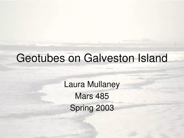
Geotubes on Galveston Island. Laura Mullaney Mars 485 Spring 2003. Galveston’s Problem. Losing up 10 feet of shoreline a year for the last 50 years [1] Causes Global water levels are rising Sinking due to pumping out of ground water, oil, and gas Natural weather events

E N D
Geotubes on Galveston Island Laura Mullaney Mars 485 Spring 2003
Galveston’s Problem • Losing up 10 feet of shoreline a year for the last 50 years [1] • Causes • Global water levels are rising • Sinking due to pumping out of ground water, oil, and gas • Natural weather events • These events are happening everywhere so why such detrimental effects to Galveston Island?
Rivers are being damned off cut off the fresh sand source • Flat beaches allow for minute sea level rises to have significant effects • 1 meter of water rise means Galveston looses 100 meters of beach to the Gulf[2]
Tropical Storm Francesand the Aftermath • September 7-11, 1998 • Estimated 250 million dollars worth of damage • Approximately 100 homes now on public beach (seaward of the natural vegetation line) • [6]
Funding • Fiscal year 2002, congress appropriated $10 million, of which Texas will receive $387,957[7] • Geotubes = $125/foot [8] • [4]
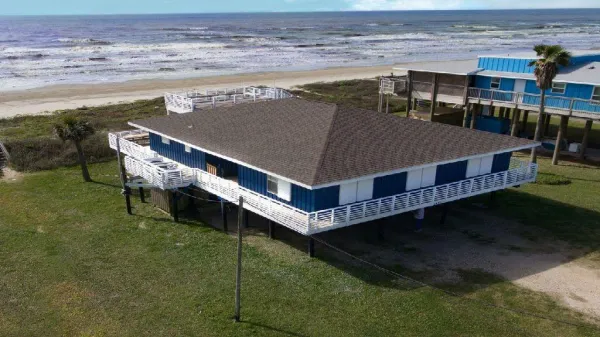
The Geotube • Sediment filled sleeve of geotexile fabric with a cross section of ~12 feet • Rests on a fabric scour apron with sediment-filled anchor tubes along each edge • Placed in a trench running parallel to the shore • 2 feet of sand and vegetative cover • [2]
Intended to be a temporary storm-surge protection and erosion control • The tubes will fail when exposed to a direct wave attack
Locations • Cover 7.3 miles of shoreline from Follets Island to High Island • With Pirates Beach being the largest on Galveston Island measuring 1.553 miles
Guidelines for Locations • Guidelines set forth by the Coastal Coordination Council • If foredune is present, then will be placed landward • No fordune, then landward of the line of vegetation • Project shall only be placed seaward of the line of vegetation as long as beach width is maintained through nourishment
Mistakes • Galveston island projects particularly Pirates Beach placed the geotubes seaward of the line of vegetation, have not yet started their beach nourishment • Leading to a decrease in the width of the beach • Communities are not providing adequate parking to allow visitors to use the public beach, forming a de facto private beach • [3]
Maintenance • Tubes stay covered with sand and vegetation • Beach nourishment • Repair holes as soon as possible
The quantity of sand placed on the beach of each participant is directly related to their monetary contribution [5] • Impossible as of date to keep even a sparse vegetative cover on at least half of the project lengths [2]
Primary source of beach and dune sand is that which is eroded from the beaches that are up drift of any given location • The prevention of erosion and release of landward sand to adjacent beaches, will cause higher rate of erosion to neighboring beaches [] • This can be stopped by nourishing the geotube beaches allowing the sand to migrate to the surrounding areas
Experimental • The geotubes have not been tested with a full storm impact • 44% of the total length of the project was totally exposed and most areas suffered erosion of sand cover following TS Allison • Peak water level = 3.12 feet • Peak wave height = 13.94 feet • 30 miles SW of the Galveston geotube projects • [2]
Pirates Beach faired well with respect to keeping its vegetative cover • Only 10% of the Pirates Beach project was exposed • Due to Sand fence and lack of coppice mound sub environment
Decreased Beaches • Beaches in front of the tubes are 21-83 feet narrower then those without • Due to the tubes being placed seaward of houses overlapping the natural vegetation line • Making some parts impassible when water is only 2 feet above normal sea-level • This is most visible at the Pirates Beach project • [2]
References • 1. http://twri.tamu.edu/watertalk/archive/2001-Apr/Apr-17.1.html • Aggie-Hotline, April 16, 2001/A&M Galveston Studies Beach Erosion, by Jane Maxwell (3-28-03) • 2. http://www.beg.utexas.edu/coastal/2001%20final%20report.pdf • Geotubes along the gulf Shoreline of the upper Texas coast: Observation During 2001 (2-19-03) • 3. http://info.sos.state.tx.us/pub/plsql/readtac$ext.TacPage?sl=T&app=9&p_dir=F&p_rloc=95556&p_tloc=49662&p_ploc=24777&pg=3&p_tac=&ti=31&pt=16&ch=501&rl=14 • Title 31. Natural Resources and Conservation. Part 16. Coastal coordination Council. Chapter 501, subchapter B (3-5-03) • 4. http://www.cityofgalveston.org/whatsnew/mou.pdf • Memorandum of Project Understandin (MOU) – West Galveston Island Beaches – CERPA II Project (3-28-03) • 5. http://www.cityofgalveston.org/whatsnew/mou.pdf • CEPRA II – GOALS AND CONCERNS November 13, 2002 (4-6-03) • 6. http://www.texasopenbeaches.org/WGIPOAchronology.doc • Chronology of Events set in motion by the PPOA and the WGIPOA (3-28-03) • 7. http://www.glo.state.tx.us/coastal/beachwatch/index.html • The Beach Act, by Coastal Coordination Council , (2-10-03) • 8. http://www.bermudabeach.org/2002minutes.htm • Annual meeting: October 12, 2002 (2-10-03)