Download
1 / 10
100 likes | 202 Views
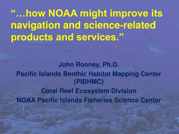
“…how NOAA might improve its navigation and science-related products and services.”. John Rooney, Ph.D. Pacific Islands Benthic Habitat Mapping Center (PIBHMC) Coral Reef Ecosystem Division NOAA Pacific Islands Fisheries Science Center. PIBHMC:

E N D
“…how NOAA might improve its navigation and science-related products and services.” John Rooney, Ph.D. Pacific Islands Benthic Habitat Mapping Center (PIBHMC) Coral Reef Ecosystem Division NOAA Pacific Islands Fisheries Science Center
PIBHMC: • Pacific Islands Region - coral reef ecosystems • Funded by NOAA CRCP & partners • depth, substrate, biological communities • Provide data CMSP & management • Stats Coral Cover Bathymetry Hard/Soft Substrate
Uses of map products: • delineate MPAs • plan sub-sea pipeline and cable routes • designate anchorage areas • delineate EFH & HAPC • environmental impact assessment • characterize fish communities and fish/habitat associations • stratification of biological surveying • site selection for research • tsunami inundation maps • safe navigation
Bathymetry Syntheses: Northwestern Hawaiian Islands American Samoa CNMI and Guam Pacific Remote Islands Area Main Hawaiian Islands - SOEST Data Exchange: NGDC, NAVOCEANO, OCS, PMEL, HMRG, HURL, etc. PIBHMC website http://www.soest.hawaii.edu/pibhmc/
Shared Challenges: • - Long distances between island groups • - 50+ islands, atolls & banks • - Many other banks • - Existing chart data old & incomplete • - Funding reductions • - requests: critical needs/ improved efficiency NOAA Chart No. 81092, Dec. 2007
Regional Asset - Survey launch R/V AHI & Reson 8101ER harbor surveys tsunami inundation damage assessment
#2. Coastal and Marine Spatial Planning: Implement comprehensive, integrated, ecosystem-based coastal and marine spatial planning and management in the United States.
Requests for recommendations: Help maintain availability of R/V AHI. Collect bathymetric LIDAR to fill nearshore gap. Support collection of mapping data for CMSP. Initiate long-term agreement to share data with DOD. …the End