Download
1 / 58
660 likes | 1k Views
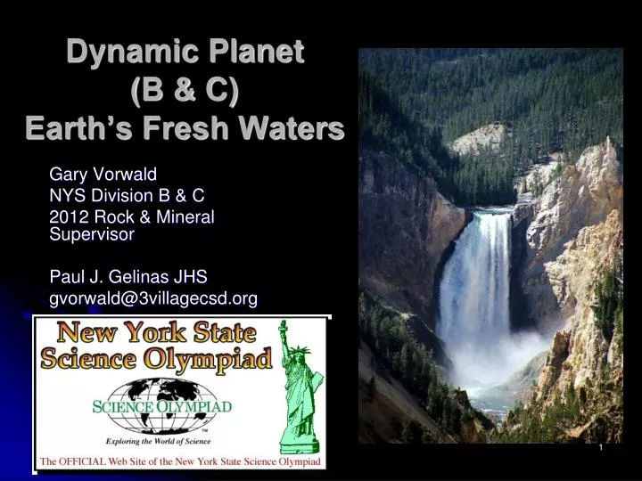
Dynamic Planet ( B & C) Earth’s Fresh Waters. Gary Vorwald NYS Division B & C 2012 Rock & Mineral Supervisor Paul J. Gelinas JHS gvorwald@3villagecsd.org. Event Description. Participants will use process skills to complete tasks related to Earth’s fresh waters A team of up to 2

E N D
Dynamic Planet (B & C) Earth’s Fresh Waters Gary Vorwald NYS Division B & C 2012 Rock & Mineral Supervisor Paul J. Gelinas JHS gvorwald@3villagecsd.org
Event Description • Participants will use process skills to complete tasks related to Earth’s fresh waters • A team of up to 2 • Approximate time: 40 – 50 Minutes
Event Parameters • Participants may bring one four (4) 8.5 x 11” double-sided pages of notes • Information can be in any form and from any source • Each team may bring two (2) non-graphing calculators
The Competition • Participants will be presented with one or more tasks, many requiring the use of process skills • Scope of event includes Rivers and Streams, Lakes, and Ground Water
Topics • Fresh Water Features on USGS topographic maps
Stream Drainage Systems: Stream Order (new 2012) • Stream order is a measure of the relative size of streams. Stream sizes range from the smallest, first-order, to the largest, the twelfth-order (the Amazon River). • Over 80% of the total length of Earth's rivers and streams are headwater streams (first- and second-order). • As water travels from headwater streams toward the mouth of mighty rivers, streams gradually increase their width and depth. Discharge also increases.
Channel Types: braided, meandering, straight Straight Channel Braided River Meandering Channel
Calculations of Sinuosity (new 2012) • Calculating Sinuosity Sinuosity (P) is calculated as the ratio of the channel length (lc) to the distance of the valley (lv): P = lc / lv • To measure channel length, use a piece of string to measure the length of the channel, being sure to include all bends of the channel. Then use the string to measure the length of the valley, using the contour lines on the map to make sure you stay within the valley. • Calculate sinuosity by dividing channel length by valley length measured on the map. Stream Characteristics Lab http://serc.carleton.edu/quantskills/activities/14005.html
Sediment: Transportation • Stream Load
Sediment: Deposition & Erosion • Factors: size, shape, density • Stream velocity decreases • Inside Meander • Delta’s and Alluvial Fans
Factors that Affect Rate of Deposition • Water Velocity – as velocity increases, settling rate decreases • Size – as size increases, settling rate increases • Shape – as particle becomes more spherical, rate increases • Density – as density increases, rate increases
River Valley Forms & Processes • Geology • Gradient • Base Level • Dynamic Equilibrium
Stream Capture (Piracy) • The stream on the right has a steeper gradient than the stream on the left. At the red arrow, headward erosion is wearing into the divide separating the left stream system from the right stream system. • Eventually, this stream may cut through the divide and "capture" the headwaters, diverting them into the stream system on the right. STREAM PIRACY has occurred. http://www.aegis.jsu.edu/mhill/phylabtwo/lab9/trellf.html
Stream Flow & Discharge Stream Gauge
Perennial vs Intermittent Stream Flow • Stream Flow Calculations • http://water.epa.gov/type/rsl/monitoring/vms51.cfm • Recurrence Intervals – probability of event occurring, such as 100 year flood • Chezy Equation (for flow velocity) and Manning co-efficient (Div C) http://en.wikipedia.org/wiki/Ch%C3%A9zy_formula
Groundwater • Aquifers • Water Table & Groundwater Zones
Confining beds • Hydraulic Gradient • Recharge/Discharge • Interactions between surface and groundwater
Porosity & Permeability • Porosity – percent pore space in an aquifer
Permeability – ability of a material (aquifer) to transmit fluids
Karst features • Sinkholes, caves, disappearing streams, springs, solution valleys
Lake Formation & Types Volcanic Lake (Crater Lake) Rift Valley Lakes
Types of Lakes (cont) Glacial Lakes: finger lakes, Great Lakes, cirque lakes (tarn); kettle lakes; moraine dammed lakes
Great Lakes Kettle Lake Tarn Finger Lakes: Moraine dammed lakes
Lake Features: Stratification • Lake stratification is the separation of lakes into three layers: • Epilimnion - top of the lake. • Metalimnion (or thermocline) - middle layer that may change depth throughout the day. • Hypolimnion - the bottom layer. • The thermal stratification of lakes refers to a change in the temperature at different depths in the lake, and is due to the change in water's density with temperature.
Physical & Chemical Properties of Lakes • Physical Variations • Light Levels • Temperature • Currents • Water Clarity (Turbidity) • Chemical Variations • Dissolved Oxygen • Nutrients • Nitrogen • Phosphorous • pH
Lake Features: Waves & Shorelines • Lake Michigan Waves Lake Shoreline
Destruction/Effects of Land Use • Dams • Levees Effects: sedimentation, down-cutting, diversion of water, flooding, ecological changes
Water Budgets • Precipitation • Runoff • Evaporation • Storage
Pollution • Types, sources, transport
Coaching Tips:Selecting Participants • Choose team members from different grade levels to avoid having to train a completely new team the following year. • Team members can divide up the concepts and become experts on them. • Both should collaborate on developing a notebook and notes sheets