Download
1 / 18
210 likes | 635 Views
History of Cartography II. Siberia and Pre-Contact Americas. Karelian Petroglyphs. Karelian Petroglyph. Inuit Driftwood Maps. Mojave Rock Map. Red Sky’s Birch bark Migration Scroll. Stela at Izapa ( ca 300 BCE-1 CE). Mapa de Metlatoyuka , 16 th c .

E N D
History of Cartography II Siberia and Pre-Contact Americas
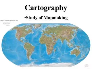
A drawing or other representation of the earth's surface or a part of it made on a flat surface, showing the distribution of physical or geographical features (and often also including socio-economic, political, agricultural, meteorological, etc., information), with each point in the representation corresponding to an actual geographical position according to a fixed scale or projection; a similar representation of the positions of stars in the sky, the surface of a planet, or the like. Also: a plan of the form or layout of something, as a route, a building, etc. (OED)
graphic representations that facilitate a spatial understanding of things, concepts, conditions, processes or events in the human world' From Harley and Woodward, The History of Cartography (1987)