Download
1 / 16
160 likes | 294 Views
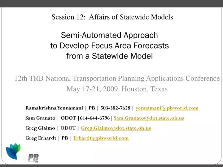
Session 12: Affairs of Statewide Models. Semi-Automated Approach to Develop Focus Area Forecasts from a Statewide Model. 12th TRB National Transportation Planning Applications Conference May 17-21, 2009, Houston, Texas. Ramakrishna Yennamani | PB | 503-382-7658 | yennamani@pbworld.com

E N D
Session 12: Affairs of Statewide Models Semi-Automated Approach to Develop Focus Area Forecasts from a Statewide Model 12th TRB National Transportation Planning Applications Conference May 17-21, 2009, Houston, Texas Ramakrishna Yennamani | PB | 503-382-7658 | yennamani@pbworld.com Sam Granato | ODOT |614-644-6796| Sam.Granato@dot.state.oh.us Greg Giaimo | ODOT | Greg.Giaimo@dot.state.oh.us Greg Erhardt | PB | Erhardt@pbworld.com
Agenda • Overview • Motivation • Application • Focusing model • Summary
Overview • Statewide Model: • Study the macroscopic movement • Cover Large Areas • Subarea Model: • Study detailed traffic movements • Focus on a small region Subarea Model-1 Subarea Model-2 Statewide Model Focusing Model Subarea Model-n
Motivation • Why focusing model? • Subarea networks are manually developed • Trip tables are manually developed • Deal with external zones • Such efforts are usually isolated • Subarea studies frequently conducted by MPO’s • Significant part of such studies involves developing networks
Motivation • Provide a framework for a semi automated approach: • To develop a subarea network using the statewide model • Derive the detailed networks and forecasts effortlessly: • Subarea analysis • Corridor studies • Reduced burden on MPO’s • Skip network development • Skip trip tables development • Eliminate external zones • Consistent format (Network & Trip Tables): • Across all MPO’s • Across multiple studies within an MPO
Application • Who might be interested in such a tool? • What elements are required to use this tool? • Advantages? • Control • Quality • Speed
The Ohio Focusing Model Master Network Or Hybrid Network Statewide Model Network Detailed Network • User Input • Study Area (Zones) • Buffer Area (Zones) 1. Scenario Network 2. Scenario Junction File 3. Scenario Trip Tables Statewide Model Trip Tables & Zonal Data • 4. Assignment • Junction Based Inside Study Area • Equilibrium Assignment Elsewhere
Master Network Master Network Or Hybrid Network Statewide Model Network Detailed Network • Statewide Network + Detailed Network • Statewide Network: • Statewide highway links • Statewide centroids and connectors • Detailed Network: • Detailed highway links • Detailed centroids and connectors • Attributes used to identify the above set of links • Statewide Zone containing the link • Functional Class
User Input • User Input • Study Area (Zones) • Buffer Area (Zones) • Focus Area • Defined by Statewide Zone Numbers • Focus Zones:1270, 1556-1570,3385-3387,3390; • Buffer Area • Why Buffer Area? • Connect the detailed links in focus area with Statewide Links • Part of junctions at the boundary of the focus area • Defined by Statewide Zone Numbers • Buffer Zones: 169,191,193,327,329,330;
Scenario Network Master Network Or Hybrid Network • Develop network suitable for focus area : • Inside the focus area: • State wide centroid connector gets deleted • Outside the focus area: • Detailed network centroid connector gets deleted • Detailed highway links get deleted • Link outside the study-period get deleted • Unconnected nodes and links get deleted • User Input • Study Area (Zones) • Buffer Area (Zones) 1. Scenario Network
Scenario Junction File • User Input • Study Area (Zones) • Buffer Area (Zones) 1. Scenario Network • Used for modeling intersection delay in focus area • Contains intersection data for nodes in focus area • Created in two stages: • Create junction data for all nodes • Select only nodes inside focus area • Computationally expensive 2. Scenario Junction File
Scenario Trip Tables • Develop trip tables: • To match focusing model zoning system • Disaggregate by: • Time period (AM, MD, EV, PM) • Vehicle class (CAR, TRUCK) • Disaggregate using socio economic variable: • F(pop, emp) • Changes the zone system: • Compress the zone system • Update network consistent with trip tables • User Input • Study Area (Zones) • Buffer Area (Zones) 3. Scenario Trip Tables Statewide Model Trip Tables & Zonal Data
Trip Table Estimation • Option available to estimate better trip tables using: • Scenario trip table • Traffic count data • Screen line counts • User provided confidence levels • Cube analyst required!
Assignment 1. Scenario Network • Uses: • Disaggregated trip tables • Modified network • Junction assignment inside focus area • UE assignment outside focus area • Runs either 2 class assignment (CAR & TRUCK) or 12 toll class assignment (CAR 1-3 & TRUCK 1-9) 2. Scenario Junction File 3. Scenario Trip Tables • 4. Assignment • Junction Based Inside Study Area • Equilibrium Assignment Elsewhere
Conclusions • Extension to statewide models • Derive the detailed networks and forecasts effortlessly • Consistent format across several studies • Junction assignment inside focus area • UE assignment outside focus area
Focusing Model Team • Yennamani Ramakrishna: Yennamani@pbworld.com • Greg Giaimo: Greg.Giaimo@dot.state.oh.us • Sam Granato: Sam.Granato@dot.state.oh.us • Greg Erhardt: Erhardt@pbworld.com • Patrick Costinett: costinett@pbworld.com