Download
1 / 15
150 likes | 160 Views
This overview explores the use of geospatial technologies at all stages of the census process, from mapping to data dissemination. It emphasizes the need for a continuous census geography program and highlights the institutional and organizational issues involved in building a geospatial infrastructure. Key success factors and recommendations for national statistical organizations are also discussed.

E N D
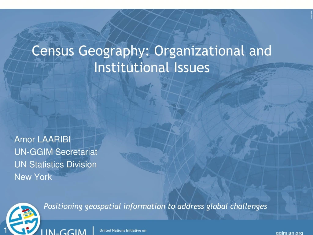
Census Geography: Organizational and Institutional Issues Amor LAARIBI UN-GGIM Secretariat UN Statistics Division New York Positioning geospatial information to address global challenges 1
Overview • From Census mapping to Census Geography: • Census Cartography Process • Why using Geospatial technologies • Building a geospatial Infrastructure: • In-house Cartography/GIS unit • Technical and human capacities • NSDI • Success Factors
Census Process Pre-Census (Pre-enumeration:maps ensure consistency, prepare) Census (Enumeration: maps support data collection, monitor) Post-Census (Post-enumeration: analyze, display and disseminate)
Pre-enumeration stage Pre-enumeration (EA Map Production) Large-scale maps EA units Geocoding System Census Database Digital Mapping GIS Satellite Imagery Aerial Photo. GPS
Census Enumeration Stage Pre-enumeration (EA Map Production) Large-scale maps EA units Geocoding System Census Database Digital Mapping GIS Satellite Imagery Aerial Photo. GPS Large-scale mapsLarge & mid-scale for sup. Mid- & small-scale for managment Admin./Statistical Units Enumeration (Census Data Collection) GIS/GPS/PDAs Digital Mapping
Post-enumeration Stage Pre-enumeration (EA Map Production) Large-scale maps EA units Geocoding System Census Database Digital Mapping GIS Satellite Imagery Aerial Photo. GPS Mid- & small-scale maps EA update Statistical Database Databases (Maintenance) GIS Internet Mapping Digital Mapping Large-scale mapsLarge & mid-scale for sup. Mid- & small-scale for manag. Admin./Statistical Units GIS/GPS/PDAs/Digital Mapping Post-enumeration (Census Data Dissemination) Enumeration (Census Data Collection)
Geospatial Technologies at all stages (Pre-enumeration) (Enumeration) (Post-enumeration) Digital Mapping Digital Mapping Statistical Database Census Database Databases Maintenance GIS GIS Aerial Photo. GPS GIS Satellite Imagery PDAs Internet Mapping GPS Administrative and Reporting Units EAs Units
Census Geography Programme: a continuous process • The UN recommendations emphasized the need for countries to consider the census geography programme as a continuous process, rather than the sequential mapping and dissemination operations. • It was also emphasized that the use of and application of contemporary geospatial technologies and geographical databases is beneficial at all stages of population and housing census process. • Adoption of GIS/Geospatial Information as a major strategic decision: Census GIS database/geospatial analysis/Interactive mapping/tools
Institutional/Organizational Issues • National Statistical Organizations should: • Develop GIS as a long term project: • To prepare the census enough in advance • Too expensive for the census only • To be used beyond the census as infrastructure for other statistical purposes (other sources, sample frame...) • Ensure the availability of adequate resources to that end • A specialized in-house Cartography/GIS unit • The decision to invest in geospatial technology is need-based and problem-driven • Cannot be technology-driven or as an independent add-on • Building technical and human capacities
National Scope - Institutional Coordination Statistical-Geospatial Infrastructure Census Database – National Population Datasets and Geocoding System: basic components of the NSDI Data Sharing: Facilitation of data sharing through detailed documentation and metadata across user networks National Statistical Organizations should actively participate, in partnership with other national authorities, in the development of a national geographical information capacity, including the National Spatial Data Infrastructure (SDI).
Spatial Data Infrastructure (SDI) • Geographic Information: • Infrastructure Concept - Important as physical infrastructure assets such as roads, communications networks, and other public utilities • SDI Definition: • The technology, policies, standards, human resources, and related activities necessary to acquire, process, distribute, use, maintain, and preserve spatial data
Core Spatial Data: common layers • Geoditic network • Administrative Boundaries • Hydrography • Elevation • Roads and Railroads • Cadastral • Geographical Names
Main NSDI Components Source: GSDI Cookbook
Success Factors • Ensuring Commitment for a long-term digital census mapping program • Conducting a comprehensive needs assessment • Tailor-made methodology of integration • A Permanent unit for Cartography/GIS within the NSO • Partnership and cooperation • Capacity Building for sustaining the census mapping program