Download
1 / 14
140 likes | 156 Views
Explore the U.S. Army Corps of Engineers' extensive coastal mapping initiatives, technologies, and data management strategies discussed at a vital interagency Congress. Learn about key missions such as water resources, navigation, and ecosystem restoration. Delve into the mapping technology integration utilized by USACE and the various mapping needs arising from coastal projects. Discover insights into budget allocations, project authorizations, and the annual dredging program. Engage with the crucial role electronic chart data plays in improving safety of navigation along inland and coastal waters. Uncover detailed data on coastal measurements, products, and seamless elevation records provided by the National Coastal Mapping Program.

E N D
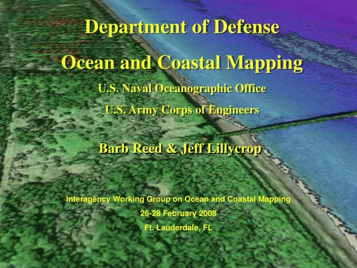
Department of Defense Ocean and Coastal Mapping U.S. Naval Oceanographic Office U.S. Army Corps of Engineers Barb Reed & Jeff Lillycrop Interagency Working Group on Ocean and Coastal Mapping 26-28 February 2008 Ft. Lauderdale, FL
Corps of Engineer’s Missions • Water Resources • Navigation • Flood Damage Reduction • Shore Protection • Water Supply • Recreation • Environment • Wetlands & Waterways Regulation and Permitting • Ecosystem Restoration • Environmental Stewardship
USACE Mapping Needs Each year the Corps moves 250-350 Million cu yd of sediment Gulf of Mexico 12,000 Miles of Waterways Maintained by Corps 926 COASTAL PROJECTS 299 Deep Draft 627 Shallow Draft $700 Million annual dredging program 2006 2005 226 miles of authorized projects
USACE Coastal Mapping Technology Rod & Transit to Airborne Techniques $40,000,000 < estimated annual < $60,000,000 imagery – topo – hydro – environmental
(1,000 m)……………………..Hydro / Topo………(500 m) Hydro – waterline to 1,000 m @ 4 m spacing Topo – waterline to 500 m @ 1 m spacing RGB Imagery @ 20 cm pixels Hyperspectral – 1m pixels / 36 spectral bands USACE Ocean and Coastal Mapping Programs • Electronic Chart Data benefiting safety of navigation • Inland • Coastal National Coastal Mapping Program Dec07…. 2,893 downloads of USACE elevation data totaling 40 billion points and 190 Gbytes of data Jun07…. 2,284 downloads of USACE elevation data totaling 31 billion points and 154 Gbytes of data Nov06….1,394 downloads of USACE elevation data totaling 18 billion points and 101 Gbytes of data
USACE Coastal Mapping (1,000 m)……………………..Hydro & Topo………(500 m) Hydro – waterline to 1,000 m @ 4 m spacing Topo – waterline to 500 m @ 1 m spacing RGB Imagery @ 20 cm pixels Hyperspectral – 1m pixels / 36 spectral bands Hill Shade + Buildings National Coastal Mapping Program Physical, Environmental & Economic Measurements Data & Products Seamless Topo/Bathy Elevations Ortho RGB Imagery 1-m Grid (Raster GIS & KML) Shoreline Position Building footprints Bare Earth Bottom Reflectance Land Use Environmental Products USGS Dhi / Dredge Planning
Silent Inspector Project Surveys Coastal Mapping Technology Integration: eCoastal GIS Primary Functions • Data Management • Dredging Management • Environmental • Operations & Navigation • Sediment Budget Analysis USACE eCoastal EM Regional Sediment Management