Download
1 / 18
260 likes | 750 Views
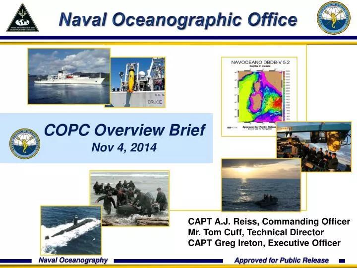
Naval Oceanographic Office. COPC Overview Brief Nov 4, 2014. CAPT A.J. Reiss, Commanding Officer Mr. Tom Cuff, Technical Director CAPT Greg Ireton, Executive Officer. Agenda. Overview of NAVOCEANO’s missions S tructure within Navy Value of COPC and its related activities.

E N D
Naval Oceanographic Office COPC Overview Brief Nov 4, 2014 CAPT A.J. Reiss, Commanding Officer Mr. Tom Cuff, Technical Director CAPT Greg Ireton, Executive Officer
Agenda Overview of NAVOCEANO’s missions Structure within Navy Value of COPC and its related activities
NAVOCEANO Mission To optimize sea power by applying relevant oceanographic knowledge in support of U.S. National Security
Core Competencies MIW PHYSICAL OCEANOGRAPHY Fleet OPS CSG ESG USMC HYDROGRAPHY BATHYMETRY SPECOPS NSW ISR JOINT GEOPHYSICS ASW ACOUSTICS GEOSPATIAL SCIENCES
Physical Battlespace Awareness Battlespace on Demand generates an operational advantage by fully integrating characterization and prediction of the environment to optimize decision making . “Home Field Advantage at the Away Games”
Collection and Sensing Tools + Military Survey Ships (T-AGS) + Hydrographic Survey Launch (HSL) + Maritime Homeland Defense Mine Warfare SWATH Vessels + Airborne Coastal Survey (ACS) + Fleet Survey Team (FST) + Autonomous Underwater Vehicles (AUVs) + Profiling Floats, Buoys & Marine Mammals + Environmental Acoustic Recording System (EARS) + Naval Platforms (TTS) + Satellites + National and International Data Exchange Agreements Persistent & State of the Art
Ocean Gliders Note that temporal variability can increase with depth, down to 1000m, in areas where internal waves are generated (straits, etc). LBS-Glider Specifications: Weight 60kg Hull Dia. 22 cm Length 1.5 m Speed 31 cm/s Max Depth 200/1000 m Endurance 4-6 months Range 4000 km Energy Li-oxyhalide
Add’l Measurement Systems Profiling Floats Profiling Floats Davis Drifter iSPHERE Drifter Drifter vs. RNCOM Marine Mammals WOCE Drifter
Ocean Circulation Modeling Global Regional Local 3.7 km 9 km 500 m 60 m 5 Groton Delft3D Groton NCOM Global HYCOM Currents Temperature Salinity Wave Height Object Drift Sound speed US-East NCOM 3D full physics, Data assimilating, Forecast models
High Performance Computing DoD Supercomputing Resource Center (DSRC) + Among the top supercomputing centers in the world + Peak computing capability of 777 Teraflops Petascale Data Storage and Mgmt + Top Tier of Nation’s secure and scalable data management and archival facilities Cutting-edgeNetworking Connectivity + Stennis designated DISA C2 Mega-site + Resilient, multi-GB connectivity via Defense Research & Engineering Network (DREN) to all major nationwide gov’t, industrial, and academic networks
Agenda Overview of NAVOCEANO’s missions Structure within Navy Value of COPC and its related activities
Fleet Alignment Chief of Naval Operations (CNO) Washington, DC Commander, Fleet Forces Command (USFF) Norfolk, VA Commander, Naval Meteorology and Oceanography Command (CNMOC) Stennis Space Center, MS *Naval Information Dominance Forces, Type Commander (NAVIDFOR) Suffolk, VA Ops Man, Train, Equip Readiness * as of 01 OCT 2014 Naval Oceanography Operations Command (NOOC) Stennis Space Center, MS Fleet Numerical Meteorology And Oceanography Center (FNMOC) Monterey, CA Naval Oceanographic Office (NAVOCEANO) Stennis Space Center, MS Naval Meteorology And Oceanography Professional Development Center (NMOPDC) Gulfport, MS U.S. Naval Observatory (USNO) Washington, DC Fleet Survey Team (FST) SSC, MS Naval Ice Center (NIC) Suitland, MD
National / Naval Ice Center Tri-Agency (Navy, NOAA, USCG) Partnership • Navy-led organization with ~40 military and civilian personnel located in Suitland, MD • World’s only center that provides operational global, regional and tactical scale sea ice and iceberg analyses and forecasts • International collaboration with ice services of the world NIC Products SPecialARcticOceanographic Synopsis (SPAROS) Ice characterization (a.k.a “Egg Charts”) RADARSAT & OLS Annotated Imagery World’s only Antarctic iceberg database Supporting: SUBFOR, ONI, USCG, NOAA, NWS, NSF, MSC, and NASA
Agenda Overview of NAVOCEANO’s missions Structure within Navy Value of COPC and its related activities
In-situ Data Inputs & Impacts • Products • BUFR • Character Code • COPC OPCs • FNMOC • Numerical Weather Prediction • NCEP • Numerical Weather Prediction • NAVO • Ocean Forecast Capability In-situ Inputs Data ProvidersData Type TOCCTDs, Gliders, Profiling Floats, XBTs, Marine Mammals, Moored Buoys, Fixed Stations, Ship Reports, Drifting Buoys AFWA (DoD OTN) CTDs, Gliders, Profiling Floats, XBTs, Marine Mammals, Moored Buoys, Fixed Stations, Ship Reports, Drifting Buoys FNMOCCTDs, XBTs, Ship Reports, Drifting Buoys, Moored Buoys, Fixed Stations NAVO CTDs, Gliders, XBTs, Profiling Floats, Ship Reports, Drifting Buoys CLS America/ARGOS Academia NAVO Specific Profiling Floats and Drifters Approved for public release. Distribution is unlimited.
Satellite Data Inputs & Impacts • Products • SST • IR Imagery • Ocean Feature Analysis • Annotated AVHRR/VIIRS • Altimetry • SSHA/SWH/WS • Ocean Optics • Visibility & Attenuation • Visible Imagery • Ice Characterization • Sea Surface Salinity • COPC OPCs • FNMOC • Numerical Weather Prediction • NCEP • Numerical Weather Prediction • NESDIS • Ocean Heat Content • NAVO • Ocean Forecast Capability ~ 64 million obs/day Satellite Inputs Data ProvidersData Type NOAA/NESDISMetOp (A&B), (COPC OTN) N-18, N-19, MTSAT SST Jason- 2, Cryosat-2 JPL/IFREMER GHRSST MSG SST Windsat SST FMQ-17(NAVO) GOES E&W AFWA (DoD OTN) S-NPP CNES ALTIKA NASA MODIS AQUA Aquarius SeaSpace COMS-1 MI KORDI COMS-1 GOCI FNMOC (DoD OTN) SSM/I, SSM/IS EDR JAXA AMSR2 ~ 450K obs/day ~ 11 million obs/day Approved for public release. Distribution is unlimited.
Summary • COPC partnerships enable: • Access to full range of satellite data • Access to observational data • Sharing of model data • Coordination of standards • Networks to efficiently and safely move METOC information among the partners • Impact: Naval forces get the world’s best environmental data, relevant and timely, to support operations around the globe