Download
1 / 15
150 likes | 253 Views
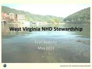
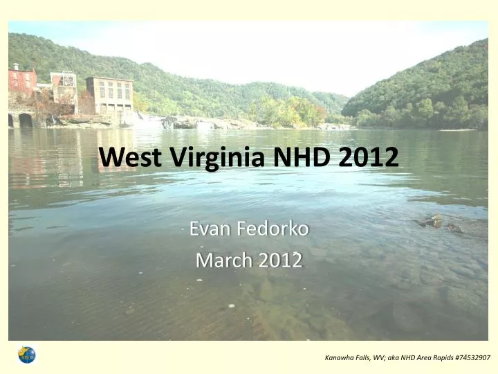
West Virginia NHD 2012. Evan Fedorko March 2012. Kanawha Falls, WV; aka NHD Area Rapids #74532907. Outline. WV’s NHD Stewardship Program 2010-11 Project Review 2012 Project Overview Progress So Far Challenges. Stewardship in WV. USGS NHD Stewardship. WV Office of GIS Coordination.

E N D
West Virginia NHD 2012 Evan Fedorko March 2012 Kanawha Falls, WV; aka NHD Area Rapids #74532907
Outline • WV’s NHD Stewardship Program • 2010-11 Project Review • 2012 Project Overview • Progress So Far • Challenges
Stewardship in WV USGS NHD Stewardship WV Office of GIS Coordination WV NHD Steward Natural Resource Analysis Center WV GIS Technical Center Technical Partner Technical Lead Evan Fedorko Jackie Strager WVDEP Office of Water Resc. Contributor Chris Daugherty
Project 2010 - 11 • Two principal goals: • Program establishment • Edits and Updates • On establishment; • Focus has been on outreach; numerous meetings held, presentations given, promotional material distributed, etc. • Interest in NHD stewardship is difficult to pin down
Project 2010 – 11 (2) • On editing; • USGS visited WV for training Dec. 2010 • Virtual machine environment and software setup was slow • Two active editors; each completed just one HUC • Editing, too, was slow; technical issues requiring contact with USGS were frequent and learning curve was steep • We were unsatisfied with our own progress
2012 Project Overview • Basic goal: address data and policy issues associated with high change areas
2012 Project (2) • Fast facts: • 900-1200 miles of stream destroyed by surface mining • Unknown additional quantity via other land use change • No single dataset of buried streams exists • Related datasets (fills, mine boundaries, etc) useful in discovery need assessed for usefulness and accuracy
2012 Project (3) • Goals summarized: • Find streams • Generate policy and best practices for editing these streams • “Plan ahead” • Each of these statements is a Hemingway iceberg…
Finding Streams • Review of 5 datasets purporting to depict surface mining (+3 smaller area datasets) • Intersected with HR NHD and reviewed 10% of intersecting features to determine accuracy
Finding Streams (2) • First cut of source datasets established • Coordination with other agencies on this subject ongoing • Other disturbance; roads, urban dev’t, etc. • Summer 2012: Catalog streams in need of edits; stand alone dataset
Best Practices • Key facts and queries: • “Replacement drainage” is not recorded digitally • How permanent are these structures? • Are they visible on photos? Is digitization feasible? • What are the opinions of hydro researchers on this subject? (interest in and importance of these features) • How thorough should the feature level metadata be? Dates, mine names, permit numbers, etc.
Best Practices (2) • BP’s will (likely) be written on a “case” basis, depending on source data availability. Examples: • Stream buried by mine: delete reach • Stream buried by valley fill: replace reach with rock rip raps (if visible) • Stream altered due to road construction or urban dev’t: replace with agency provided data (culverts, etc) • Automated feature extraction
Planning Ahead • Can we anticipate where edits will need to be made? • WVDOT, WVDEP • Key components: • Selling the value of NHD • “inserting” NHD into agency workflows
Stewardship Errata • Re-starting editing post-conference • Outreach continues • Dave Arnold leading a training session at WV GIS Conference (general NHD, HEM, NHD Plus) • Widespread use of HR NHD is still an unrealized goal in WV
Conclusions • WV NHD Stewardship is: THANKS! Questions? Evan Fedorko WV GIS Technical Center 304.293.0557 evan.fedorko@mail.wvu.edu Photo credit: National Geographic