Download
1 / 18
180 likes | 258 Views
The Middle East. The Land and the people. Agenda. Problems of the ME Activity Hwk: Notes. If Time: Maps Review Maps Objective: To identify key geographic features of the Middle East and explain how it affects people that live their. Save the Last Word. Get into main Groups

E N D
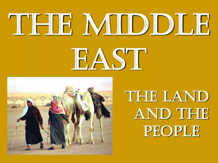
The Middle East The Land and the people
Agenda • Problems of the ME Activity • Hwk: Notes. • If Time: Maps • Review Maps • Objective: To identify key geographic features of the Middle East and explain how it affects people that live their.
Save the Last Word • Get into main Groups • Person who is oldest will read 1 statement to the group • Each group member in clockwise order will respond-write down responses • Then original person says their comment on the back • Repeat through four statements • Then person to the left goes. . • When done go to article two!
review • How did water scarcity lead to problems in the Me? • How can oil be a problem for the future of the Me? • How does the environment shape cultures in the Me?
The Middle East The Land and the people
Agenda • Review-8 Cards • Hwk: Notes. • Maps • Review Maps • Objective: To identify key geographic features of the Middle East and explain how it affects people that live there.
review • How did water scarcity lead to problems in the Me? • How can oil be a problem for the future of the Me? • How does the environment shape cultures in the Me?
The Middle East The Land and the people
Agenda • The Crossroad Notes • Hwk: Maps/Notes • Maps • Review Maps • Objective: To identify key geographic features of the Middle East and explain how it affects people that live their.
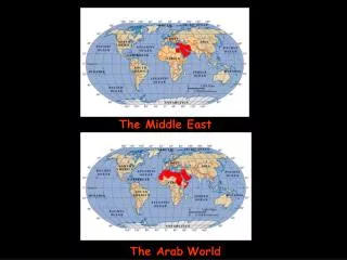
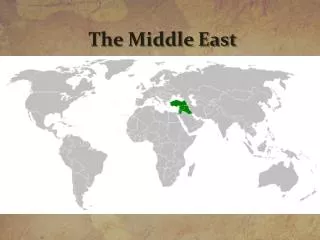
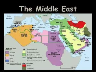
The CrossRoads • GeographicallySouthwest Asia • LinguisticallyArab World • Religiously Islamic World (poor choice) • What’s in a name? • Europeans invented the term (early 20th century) to describe the region that lies between Europe and the Far East (China, Japan, Korea, etc.)
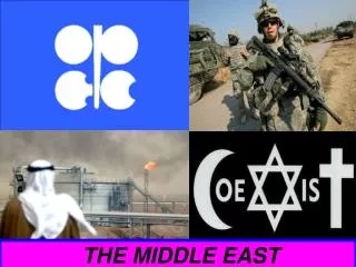
The CrossRoads • Ideas and inventions have spread across this region (Diffusion) • Strategic Location 1. vast oil reserves 2. military and economic significance 3. vital sea routes • Crossroads of the World • Middle East stands at the connection of three continents (Africa, Europe, Asia) • Connected major trade routes both overland and by sea.
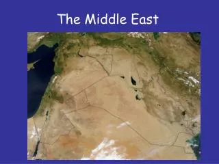
The CrossRoads • Hot—during the summer skies are clear and temps soar over 100 degrees. • Adapt: Farmers must raise crops that require little rain and can stand hot temps. (barley, wheat) • Less than 10% of the land receives enough water to make farming possible. • Characteristics—More than Deserts and Camels • Very diverse but generally….. • Dry—most areas receive less than 8 inches of rain per year
The CrossRoads • Water • Water is the key issue in the Middle East. It determines life! • Water determines where people live, how long they stay, how many can live there, caused wars, forced people to move long distances, and has caused people to prosper or perish • Mountains ringing the region prevent rain clouds from reaching inland.
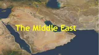
The CrossRoads • 4 Main Physical Regions • Northern Tier — area through Turkey and Iran mountains and plateaus • Arabian Peninsula — vast plateau in Saudi Arabia, -small population/little water/barren desert, -huge amounts of oil -birth place of Islam (Mecca) • Fertile Crescent — arc shaped region from Med. Sea along Tigris and Euphrates rivers to Persian Gulf. -rich soil, abundant water=major population • Nile River Valley — through Egypt fertile area -natural barriers protection-deserts around it -flooding is predictable and dependable
review • Why does the Middle East have a strategic importance? • What is the key issue in the Middle East and why? • What are the Four Physical Regions of the Middle East?