Download
1 / 21
210 likes | 326 Views
Florida Keys National Marine Sanctuary Water Quality Protection Program Data Integration System. Corals (CREMP) Seagrasses Water Quality Special Projects. Daniel Kiermaier Fish and Wildlife Research Institute Daniel.Kiermaier@MyFWC.com. Presentation Summary. STORET Update Website status

E N D
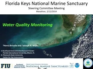
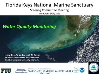
Florida Keys National Marine SanctuaryWater Quality Protection ProgramData Integration System • Corals (CREMP) • Seagrasses • Water Quality • Special Projects Daniel KiermaierFish and Wildlife Research InstituteDaniel.Kiermaier@MyFWC.com
Presentation Summary • STORET Update • Website status • Future Plans
STORET • STOrage and RETrieval (epa.gov) • FWRI is putting the finishing touches on a ‘technical’ User Manual to explain complexities regarding raw data received from field offices and the processes needed to prepare data for STORET input. This is intended to supplement the user manuals that accompany the FDEP STORET system. Considered 90% complete.
STORET • FWRI continues to upload monitoring programs’ data to Florida DEP and STORET National Warehouse. • FWRI works with Florida DEP as needed to edit/reformat WQPP data so they may be used to calculate Total Maximum Daily Loads (TMDLs).
Special Reports STORET Workflow
STORET • CREMP data (corals): • Coral Reef Evaluation and Monitoring Project • 2009 through 2011 CREMP data were entered into STORET and uploaded to the National STORET Database and Florida STORET. • CREMP and SECREMP Metadata updated and uploaded to website. • CREMP archives: • Updated through 2011 • Usually a year in arrears
STORET • Seagrass Monitoring: • Data for remainder of 2011 and a portion of 2012 received from field lab and processed
STORET • Water Quality Monitoring: • Surveys 65 through 70 (August, 2010 through October, 2012) received from field lab and processed
NASA Data • Through an agreement between FWRI and the EPA, the FKNMS website is privileged to host new and upcoming NASA data related to the Florida Keys and the National Marine Sanctuary. • Our first data is from the ROSES project, dealing with water clarity, and can be located under “Special Projects” at this time.
Data Archives • Storage of raw and synthesized data collected by the monitoring programs and special projects • Back-up if data are lost (e.g. hurricanes) • Stored in waterproof fire safe at FWRI; copy kept offsite as well. • Latest additions • Monitoring program data (CREMP, SGMP, WQMP) for last 4 quarters (since January, 2012) • Special studies reports – NASA ROSES grant
Web Site and CD-ROM • Contains raw data, metadata, reports, movies, and links to the monitoring program’s web sites • Also contains links to Monitoring Program data (text files, shapefiles, metadata) • Google Earth .KMZ files were created for current Monitoring Project data and are available on Web site and CD-ROM.
Web Site and CD-ROM • Users without access to the Web could still query data on the CD-ROM when available • New version is created each time the Web site is updated. Current version is February 2013
Web Site http://ocean.floridamarine.org/FKNMS_wqpp
Percent Distribution of Selections Period: Jan. 1, 2012 to Dec. 31, 2012 Home: 12.1% Water Quality PGM: 08.9% FKNMS: 18.1% Water Quality Mon: 06.4% Seagrass: 04.3% Corals: 18.8% Special Projects: 01.1% GIS data: 20.3%
Google AnalyticsSite usage has more than quadrupled since last January, 2012 Site Usage (Jan-Dec, 2012): • Visits – 3,230 • Unique Visitors – 2,264 • Page views – 5,688 • Average time on site – 00:08:20 • Average Daily Visits - 25 Traffic Sources
Future Efforts • Continue to develop online GIS tools for viewing, querying, and analyzing Monitoring Project data. • ESRI’s ArcServer (Shapefiles for Professional use) • Google KMZ files (for Public without ArcGIS) • Data can be displayed in many formats • Raw data • Synthesized data • Charts and graphs • Pivot Tables • CD’s are available to anyone who requests one.