Download
1 / 4
70 likes | 108 Views
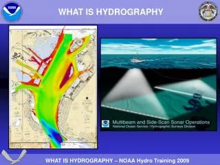
Hydrography deals with measuring and describing seas and coastal features for navigation using high-tech tools like GPS, satellites, and acoustic ranging. These tools help gather data for seafloor mapping and understanding marine environments. Learn how hydrographers use reference points, multibeam sonar, and advanced survey vessels to create detailed maps. Discover the intersections of transmit and receive beams, plate boundaries, and trench features for accurate navigation and research in the world's oceans.

E N D
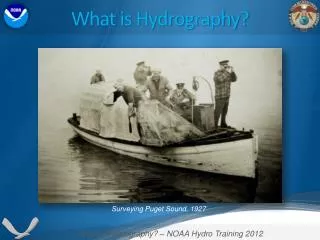
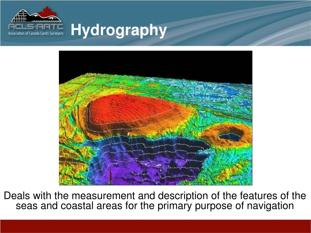
Hydrography Deals with the measurement and description of the features of the seas and coastal areas for the primary purpose of navigation
Hydrographers use many high tech tools GPS Satellites Kinematic GPS Reference Points On land Survey Vessel Acoustic Ranging Seafloor Reference Point Trench Plate Boundary Slide credit: Masayuki FUJITA, Japan Coast Guard
Multibeam Sonar Depth Point Intersection of the transmit beam and one of the receive beams Transmit Beam 1° - 5° fore-aft 90° - 170° athwart Receive Beams 20 - 1440 “beams” 20° fore-aft, 1° - 5° athwart Slide credit: Dave Wells
Rendered by Sirius Solutions, Dartmouth NS To obtain dramatic results such as a view of the Empress of Ireland Pockmark found in English Bay Slide credit: Dave Wells