Download
1 / 8
80 likes | 152 Views
Graphical representation of TN and DIN flux in the Hudson River watershed from 1986 to 1993, including data from USGS gauging sites. Supplemental nutrient data.

E N D
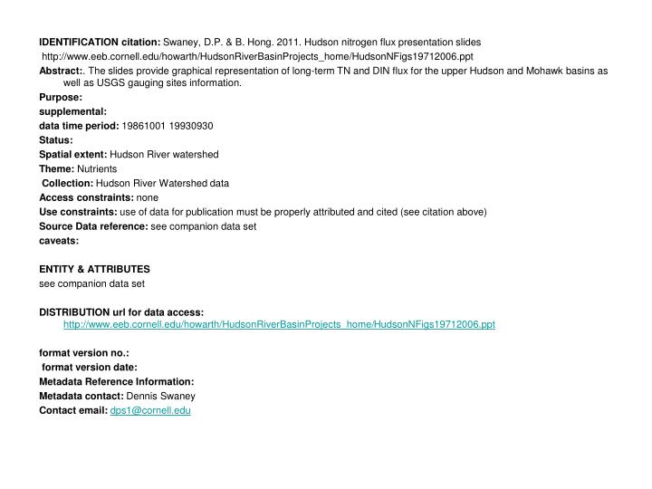
IDENTIFICATIONcitation: Swaney, D.P. & B. Hong. 2011. Hudson nitrogen flux presentation slides http://www.eeb.cornell.edu/howarth/HudsonRiverBasinProjects_home/HudsonNFigs19712006.ppt Abstract:. The slides provide graphical representation of long-term TN and DIN flux for the upper Hudson and Mohawk basins as well as USGS gauging sites information. Purpose: supplemental: data time period: 19861001 19930930 Status: Spatial extent: Hudson River watershed Theme: Nutrients Collection: Hudson River Watershed data Access constraints: none Use constraints: use of data for publication must be properly attributed and cited (see citation above) Source Datareference: see companion data set caveats: ENTITY & ATTRIBUTES see companion data set DISTRIBUTIONurl for data access:http://www.eeb.cornell.edu/howarth/HudsonRiverBasinProjects_home/HudsonNFigs19712006.ppt format version no.: format version date: Metadata Reference Information: Metadata contact: Dennis Swaney Contact email:dps1@cornell.edu
Mohawk Upper Hudson Lower Hudson
USGS 01357500 MOHAWK RIVER AT COHOES NY Drainage Area = 3,450 square miles USGS 01335754 HUDSON R ABOVE LOCK 1 NR WATERFORD NY Drainage Area = 4,605 square miles USGS 01335770 HUDSON RIVER AT WATERFORD NY Drainage Area = 4,616 square miles USGS 01358000 HUDSON RIVER AT GREEN ISLAND NY Drainage Area = 8,090 square miles